Unnamed Thermal Spring
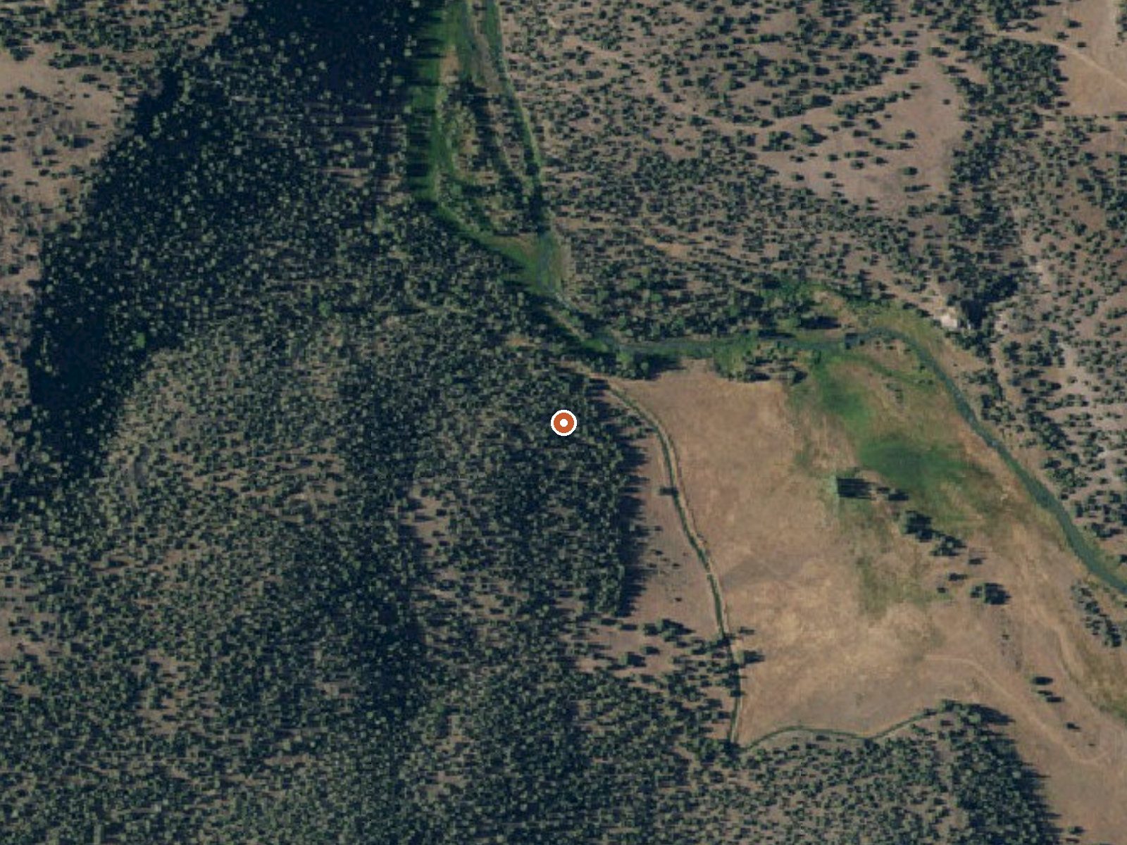
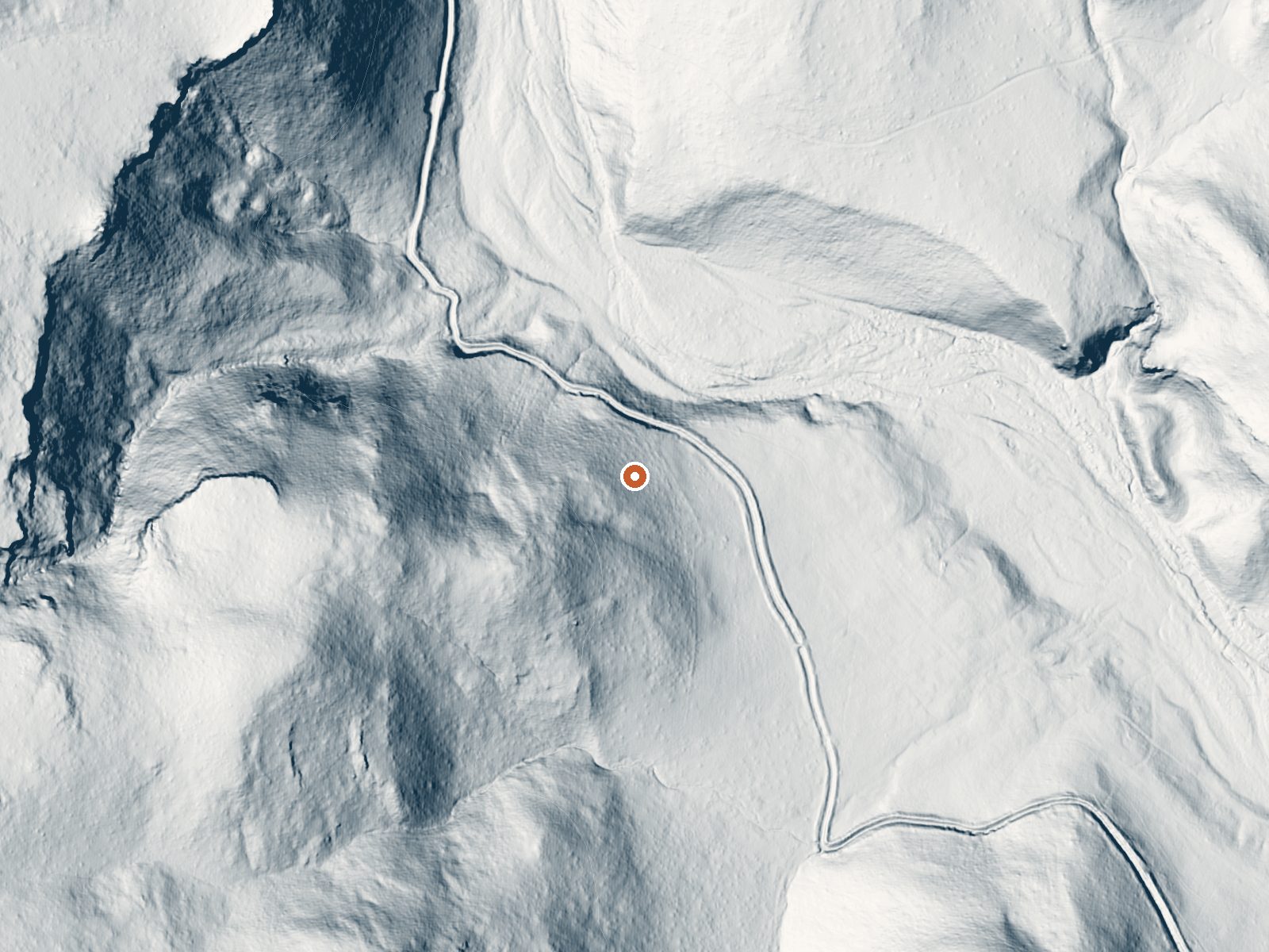
Drag the handle to compare the two views. The orange dot marks the spring, in a frame about three quarters of a mile wide.
No name is attached to this one. The reading came in at 81 degrees, lukewarm water you notice for a minute and then forget. Modoc County, with Alturas only a few miles off. No owner was written down and public access is unknown. Nobody filed a photograph to judge it by.
The nearest road on file is listed as Rattlesnake Creek, around a thousand feet away, so there is some walking. Elevation is around forty-five hundred feet, high ground. Winter brings close to four feet of snow on roughly eighteen inches of yearly precipitation, and the average temperature sits near fifty.
Come in the dead of winter, by the record. Pepperdine Equestrian Campground, a horse camp by its name, is the nearest listed at about eighteen miles. Fee and chemistry are blank on file. So is access. Confirm the land status before you go, and plan for snow on the way in.
Aircraft with laser scanners measured this ground to within inches. The scan strips out trees and buildings, leaving the bare shape of the land around this spring.
- Setting
- Hillside
- The spring sits on a steep slope that climbs to the west.
- Highest ground nearby
- 264 ft above the spring
- Within a quarter mile, to the west
A slice through the ground from west to east, about 0.6 miles end to end.
Elevation data: USGS 3D Elevation Program. Aerial imagery: USGS The National Map. Public domain.
That's about 1½ times the US average of 65. It's higher than at 23% of the springs on this site.
Heat flow measures the warmth working its way up through the ground from deep inside the earth. Where it runs high, rain and snowmelt that seep down through cracks in the rock come back up hot.
See every spring on the geothermal heat map →
Heat flow estimate: Stanford Thermal Earth Model (Aljubran & Horne, 2024), CC BY 4.0.
The campsites are mostly shaded and enjoy serene surroundings and are equiped with 12' X 12' metal corrals. A short trail runs over to the start of the Summit Trail where it heads south into the South Warner Wilderness. No wilderness permits are required however, if you plan to use a camp or backpack stove or charcoal barbeque or have a campfire outside the developed campground, you will need a current California Campfire Permit.
Springs Near This Spring
More Springs Around 81°F
Hike 1 waterfall near this spring
Looking for more outdoor adventures? Explore waterfall hikes near this spring, California.