Penny Hot Springs
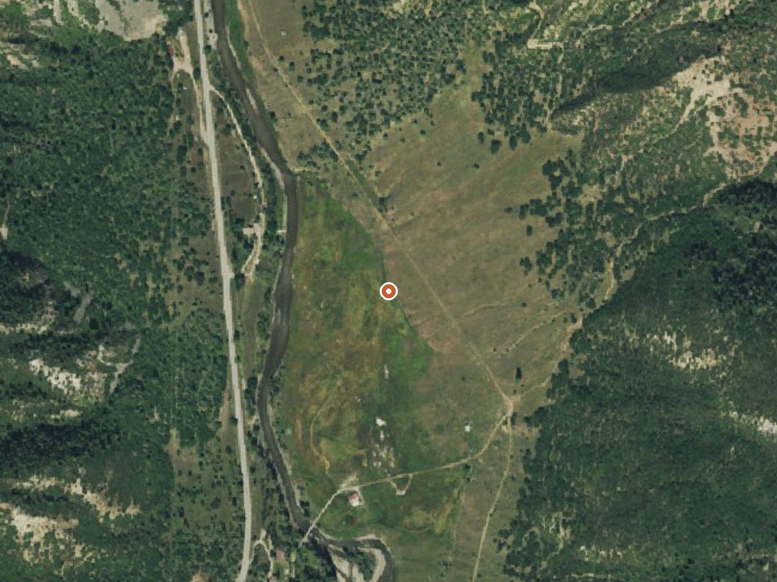
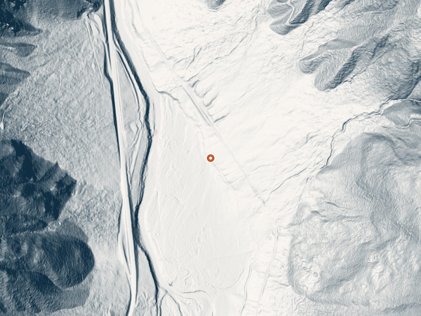
Drag the handle to compare the two views. The orange dot marks the spring, in a frame about three quarters of a mile wide.
Penny Hot Springs is a hot source on county open-space ground roughly a dozen miles from Carbondale. The record lists Garfield County for the spring while the land itself is held by Pitkin County Open Space and Trails. Water comes out hot, too much so to sit in straight from the outlet. Public access is recorded as unknown.
You leave the road and walk a few hundred yards. It sits on county land in the general open-space category, a little under seven thousand feet up. Winters are snowy, around a hundred inches in a typical year, with moderate precipitation overall. Redstone Campground is a bit over two miles away.
Best months listed are midwinter. Access status is unknown on file, so check with Pitkin County Open Space and Trails before heading out. The water is hot, so test before you get in. Only a pH reading is on record for the chemistry, and it dates to 1976.
Wikipedia places the spring near Redstone, a historic mining town. The land is part of Pitkin County's open space holdings. The USGS carries a site number for it with a single pH reading from spring 1976.
Aircraft with laser scanners measured this ground to within inches. The scan strips out trees and buildings, leaving the bare shape of the land around Penny Hot Springs.
- Setting
- Valley floor
- Gentle slopes rise on both sides.
- Highest ground nearby
- 259 ft above the spring
- Within a quarter mile, to the east
A slice through the ground from southwest to northeast, about 0.6 miles end to end.
Elevation data: USGS 3D Elevation Program. Aerial imagery: USGS The National Map. Public domain.
That's about 2½ times the US average of 65. It's higher than at 96% of the springs on this site.
Heat flow measures the warmth working its way up through the ground from deep inside the earth. Where it runs high, rain and snowmelt that seep down through cracks in the rock come back up hot.
See every spring on the geothermal heat map →
Heat flow estimate: Stanford Thermal Earth Model (Aljubran & Horne, 2024), CC BY 4.0.
The water at Penny Hot Springs is slightly alkaline (pH 7.4).
Some links are affiliate links. We may earn a commission at no extra cost to you.
Overview Redstone Campground is set amidst a scattering of aspen groves on a ridge above the Crystal River at 7,800 feet, creating an ideal setting for guests seeking recreation and relaxation in White River National Forest. Sites in the campground are widely spaced and offer wonderful views of red rock outcroppings and cliffs, though an understory of tall grass and a scattered forest provides plenty of privacy.Recreation Crystal River, a tributary of Roaring Fork River, is renowned for its...
Penny Hot Springs sits at 6,943 feet above sea level, way above the mile-high mark. You may not feel the altitude strongly, but hot water still dehydrates you faster at elevation. UV is about 28% stronger than at sea level, so bring sunscreen and drink more water than you normally would.



As an Amazon Associate, we earn from qualifying purchases.
Penny Hot Springs is road-accessible, so you can bring more gear. The water runs hot, so extra hydration is key. Cold air temperatures make a changing robe or warm layers essential.





As an Amazon Associate, we earn from qualifying purchases.
Springs Near Penny Hot Springs
More Springs Around 133°F
Slightly Alkaline Springs (pH ~7.4)
Hike 6 waterfalls near Penny Hot Springs
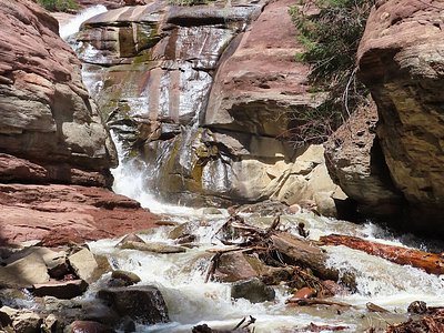
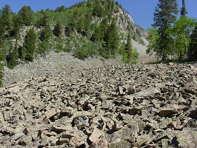
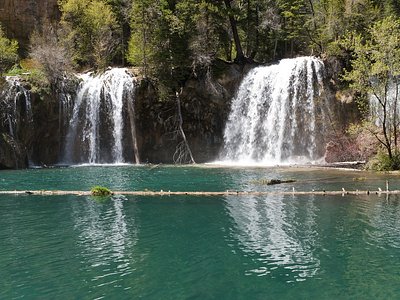
Looking for more outdoor adventures? Explore waterfall hikes near Penny Hot Springs, Colorado.