Ranger Hot Spring
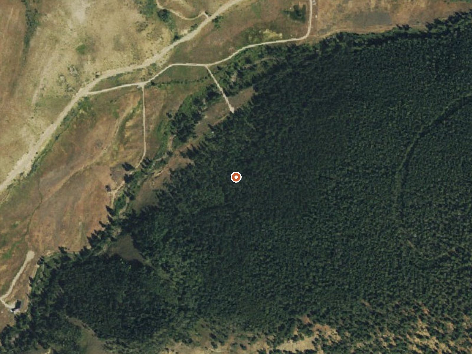
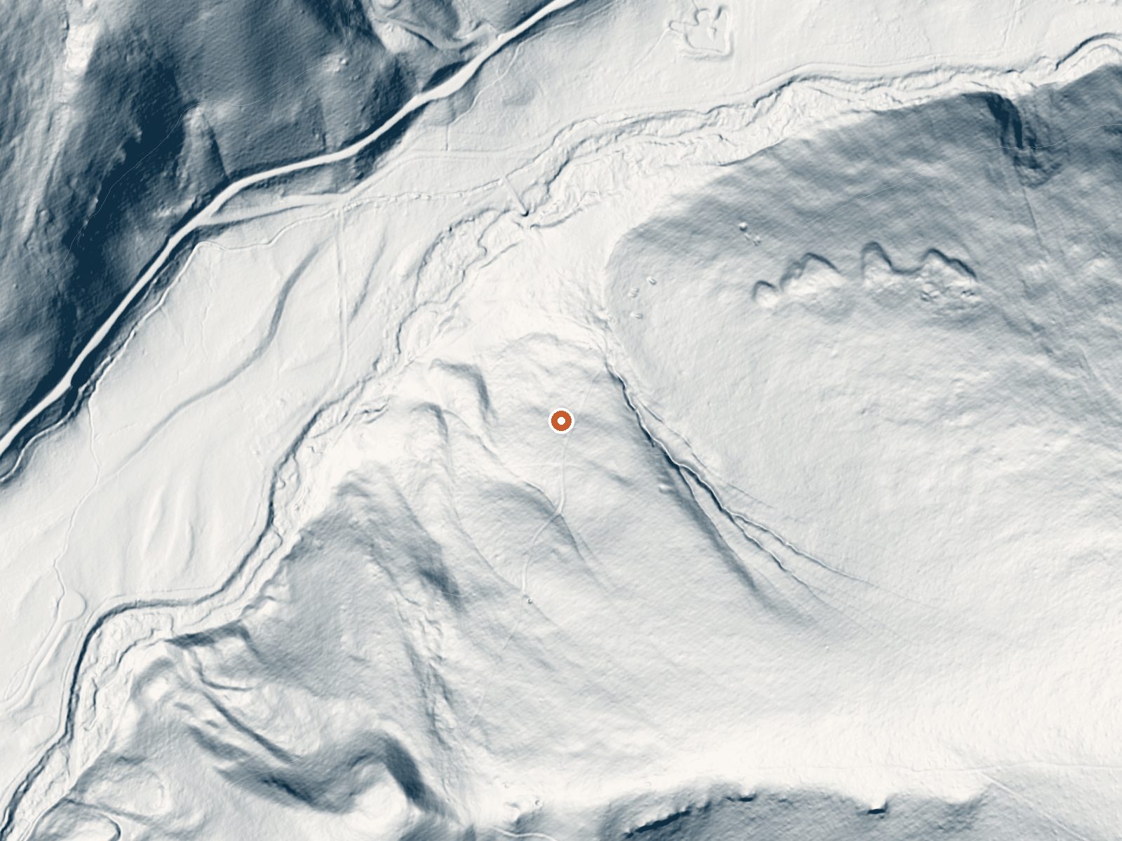
Drag the handle to compare the two views. The orange dot marks the spring, in a frame about three quarters of a mile wide.
A warm spring near Crested Butte in Gunnison County, about six and a half miles from town. Ranger Hot Spring reads tepid in the USGS record, despite the word Hot in its name. The 1977 sample shows near-neutral water. Nobody has filed an owner or an access status. Crested Butte would be the base.
The closest road is roughly 500 feet away, short-walk territory in the record. The elevation is high, with seven or eight feet of snow each year and a fairly dry climate otherwise. Average annual temperature is well below what most people call mild. One Mile campground, around nine miles, is the camp on record. The land columns hold nothing.
Winter is the season the record rates highest. Warm if you dip a hand in, too cool for a soak. Check land status before going; the record is silent on it. One Mile campground, nine miles. No fee recorded. The sample was taken in spring 1977, so the chemistry is a single old reading.
Aircraft with laser scanners measured this ground to within inches. The scan strips out trees and buildings, leaving the bare shape of the land around Ranger Hot Spring.
- Setting
- Hillside
- The spring sits on a steep slope that climbs to the southeast.
- Highest ground nearby
- 532 ft above the spring
- Within a quarter mile, to the southeast
A slice through the ground from northwest to southeast, about 0.6 miles end to end.
Elevation data: USGS 3D Elevation Program. Aerial imagery: USGS The National Map. Public domain.
That's about 2½ times the US average of 65. It's higher than at 96% of the springs on this site.
Heat flow measures the warmth working its way up through the ground from deep inside the earth. Where it runs high, rain and snowmelt that seep down through cracks in the rock come back up hot.
See every spring on the geothermal heat map →
Heat flow estimate: Stanford Thermal Earth Model (Aljubran & Horne, 2024), CC BY 4.0.
The water at Ranger Hot Spring is slightly alkaline (pH 7.4).
Overview One Mile Campground is located 18 miles from Gunnison, CO in the Taylor River Canyon. Visitors enjoy the area for its rafting, fishing and trail opportunities. Recreation The Taylor River can be accessed from the campground, and offers a calm stretch for rafting and kayaking. Anglers cast for rainbow and brook trout. The Fossil Ridge Wilderness Area is nearby. The Summerville and South Lottis trailheads provide access to the scenic, natural area. A number of off-road trails are fo...
At 8,640 feet, Ranger Hot Spring is in high-altitude territory where the air is noticeably thinner. Soaking in hot water accelerates dehydration and can amplify altitude effects like headache and fatigue. UV radiation is roughly 35% stronger here. Wear sunscreen even on overcast days and take breaks from the water to rehydrate.



As an Amazon Associate, we earn from qualifying purchases.
Springs Near Ranger Hot Spring
More Springs Around 81°F
Slightly Alkaline Springs (pH ~7.4)
Hike 6 waterfalls near Ranger Hot Spring
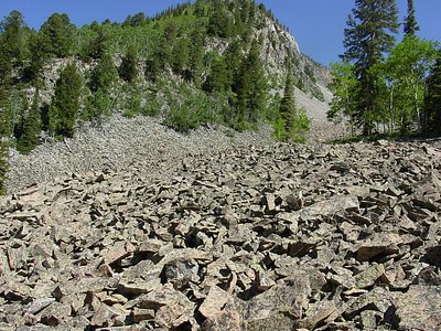
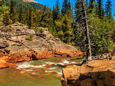
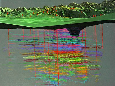
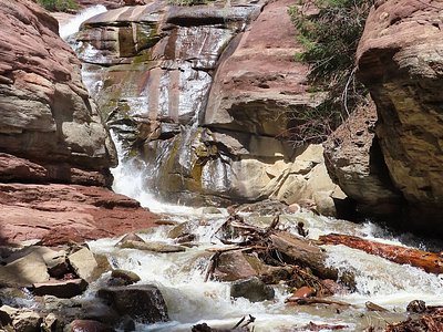
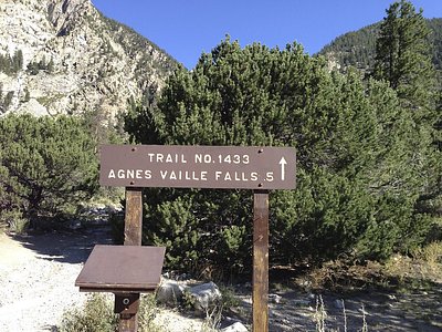
Looking for more outdoor adventures? Explore waterfall hikes near Ranger Hot Spring, Colorado.