Shaw Springs

Five miles or so from Del Norte, the nearest town in the record, Shaw Springs is a warm spring in Rio Grande County. The water is tepid, short of a proper soak. Its 1976 sample stands out for strongly alkaline water. There is a photo on file. Owner and access columns: blank.
About 0.1 mi from the road, short-walk distance. Dry country: precipitation barely reaches a foot a year and snow stays under three feet. Elevation is high valley. Del Norte is the base. Penitente Canyon Campground, seven miles off, is the camp in the record. No land unit appears, and no owner.
Best months, by the record: the winter ones. Think bathwater that has sat a while. No land owner or access status is recorded; check before you go. Penitente Canyon Campground, seven miles. The alkaline reading is from 1976. No fee is recorded, and OSM carries no label for it.
Aircraft with laser scanners measured this ground to within inches. The scan strips out trees and buildings, leaving the bare shape of the land around Shaw Springs.
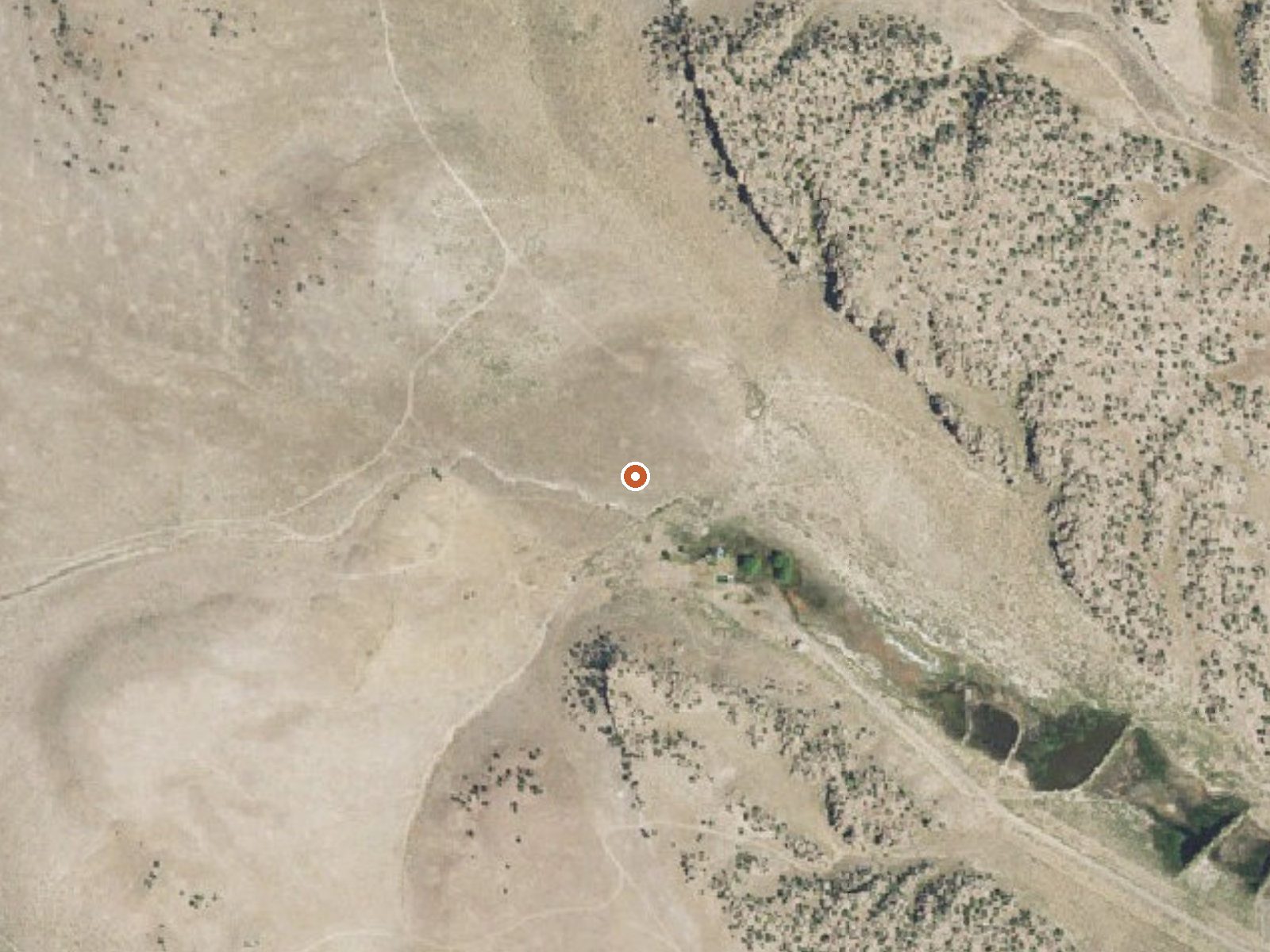
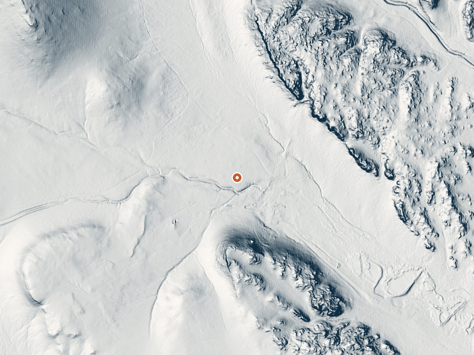
Drag the handle to compare the two views. The orange dot marks the spring, in a frame about three quarters of a mile wide.
- Setting
- Valley floor
- Gentle slopes rise on both sides.
- Highest ground nearby
- 92 ft above the spring
- Within a quarter mile, to the south
A slice through the ground from south to north, about 0.6 miles end to end.
Elevation data: USGS 3D Elevation Program. Aerial imagery: USGS The National Map. Public domain.
That's about 1½ times the US average of 65. It's higher than at 62% of the springs on this site.
Heat flow measures the warmth working its way up through the ground from deep inside the earth. Where it runs high, rain and snowmelt that seep down through cracks in the rock come back up hot.
See every spring on the geothermal heat map →
Heat flow estimate: Stanford Thermal Earth Model (Aljubran & Horne, 2024), CC BY 4.0.
The water at Shaw Springs is alkaline (pH 8.9).
Some links are affiliate links. We may earn a commission at no extra cost to you.
Overview The canyonlands of Penitente Canyon offer a blend of peaceful surroundings and diverse recreation opportunities less than 10 miles from a major highway. Although the BLM manages the 4,552-acre Penitente Canyon primarily for rock climbers, the area also offers opportunities for heritage tourists, mountain bikers, hikers and equestrians. Recreation Penitente Canyon Recreation Area is a destination known for its world-class sport rock-climbing routes and its extensive singletrack trail...
Shaw Springs sits at 7,971 feet above sea level, way above the mile-high mark. You may not feel the altitude strongly, but hot water still dehydrates you faster at elevation. UV is about 32% stronger than at sea level, so bring sunscreen and drink more water than you normally would.



As an Amazon Associate, we earn from qualifying purchases.
Shaw Springs is road-accessible, so you can bring more gear. Cold air temperatures make a changing robe or warm layers essential.






As an Amazon Associate, we earn from qualifying purchases.
Springs Near Shaw Springs
More Springs Around 86°F
Alkaline Springs (pH ~8.9)
Hike 6 waterfalls near Shaw Springs
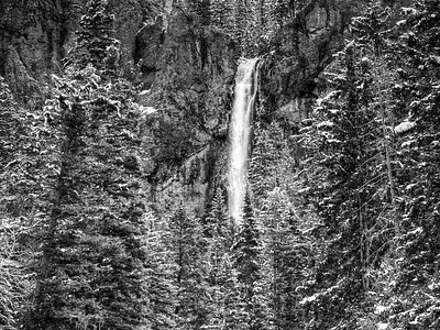
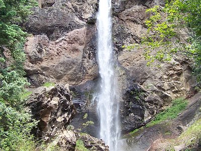
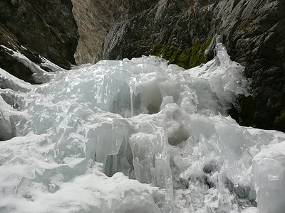
Looking for more outdoor adventures? Explore waterfall hikes near Shaw Springs, Colorado.