Cox Hot Springs
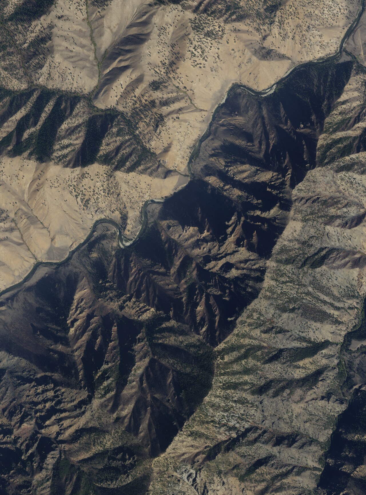
Backcountry, and a long way from anything: Cox Hot Springs sits in Custer County within the Boise National Forest per the record, 36 miles from Challis, and nothing closer counts as a town. Hot water, low 130s. The record marks access open. OpenStreetMap uses the same name. This is a hike-in spring with a photograph on file and nothing in the way of facilities.
The walk is about two and three quarter miles from the closest road, one with no name on file. Elevation is middling for central Idaho. Snow comes in at close to eight feet a winter and the climate is otherwise moderate. Yellowjacket Guard Station is the closest listed camping, 23 miles away, so this is a long approach in both senses.
Winter gets the best-months tag, which for a near three mile hike through that much snow calls for snowshoes or waiting for the melt. Cooling is required before anyone sits in it. The chemistry was run in 1980 and came back alkaline. There is no developed camping anywhere near the spring; the guard station is the closest thing on file.
Aircraft with laser scanners measured this ground to within inches. The scan strips out trees and buildings, leaving the bare shape of the land around Cox Hot Springs.
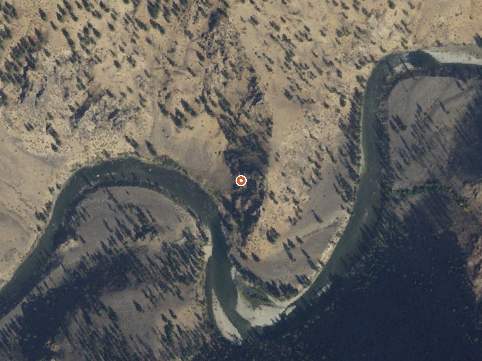
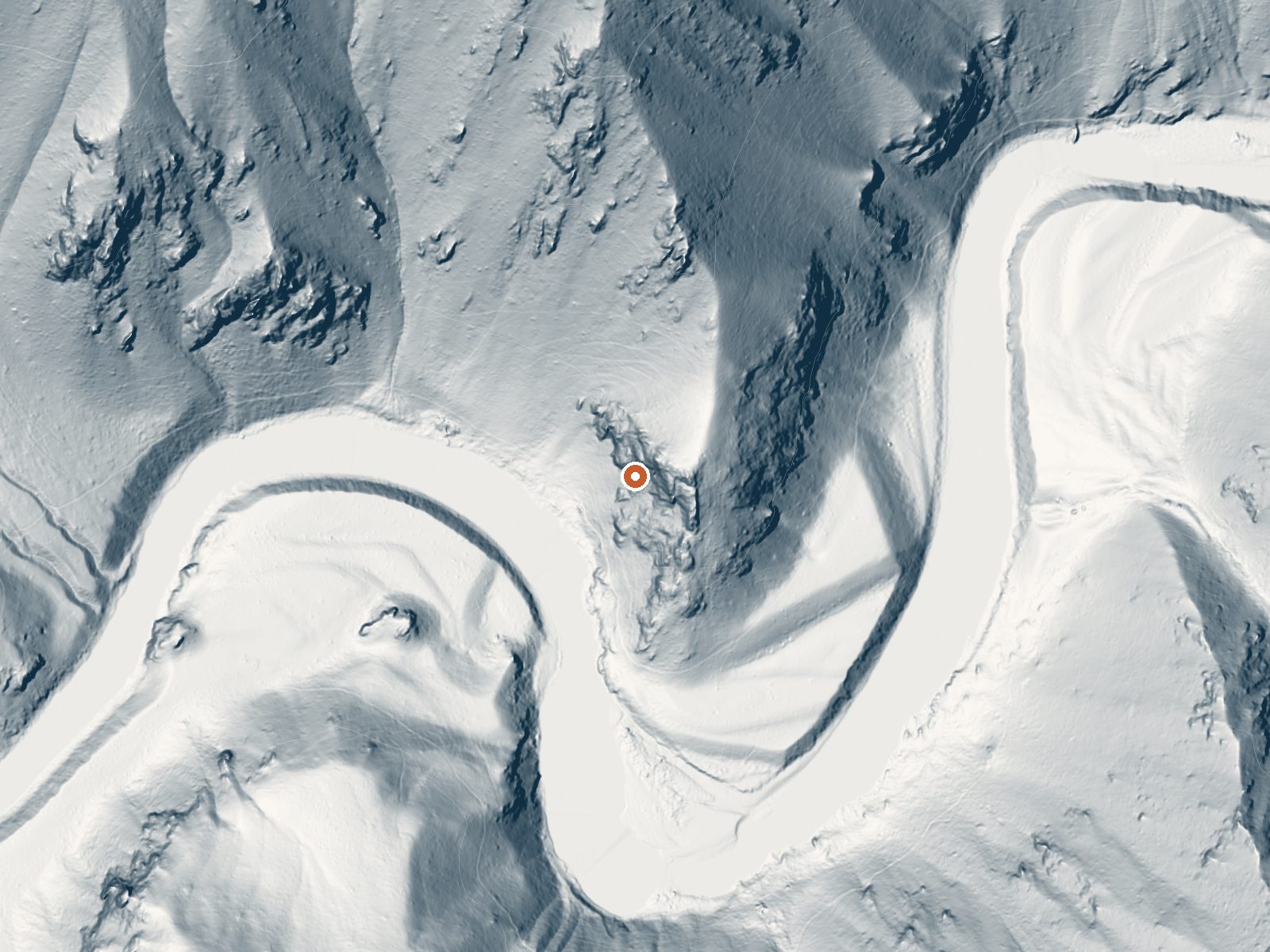
Drag the handle to compare the two views. The orange dot marks the spring, in a frame about three quarters of a mile wide.
- Setting
- Canyon floor
- Steep ground climbs away on both sides of the spring.
- Highest ground nearby
- 687 ft above the spring
- Within a quarter mile, to the north
A slice through the ground from north to south, about 0.6 miles end to end.
Elevation data: USGS 3D Elevation Program. Aerial imagery: USGS The National Map. Public domain.
That's about twice the US average of 65. It's higher than at 71% of the springs on this site.
Heat flow measures the warmth working its way up through the ground from deep inside the earth. Where it runs high, rain and snowmelt that seep down through cracks in the rock come back up hot.
See every spring on the geothermal heat map →
Heat flow estimate: Stanford Thermal Earth Model (Aljubran & Horne, 2024), CC BY 4.0.
The water at Cox Hot Springs is alkaline (pH 8.9).
Some links are affiliate links. We may earn a commission at no extra cost to you.
Overview Yellowjacket Guard Station is a historic Forest Service Ranger Station and Work Center. Originally constructed in 1925 and remodeled in 1934 by the Civilian Conservation Corps, the structure is eligible for listing on the National Register of Historic Places. Recreation Hikers, horseback riders, mountain bikers and off-road enthusiasts will find many trails in the surrounding area. Hunting is also a popular activity. Click here for an Idaho OHV safety messageFacilities The spacious...
Cox Hot Springs is road-accessible, so you can bring more gear. The water runs hot, so extra hydration is key.





As an Amazon Associate, we earn from qualifying purchases.
Springs Near Cox Hot Springs
More Springs Around 131°F
Alkaline Springs (pH ~8.9)
Hike 6 waterfalls near Cox Hot Springs
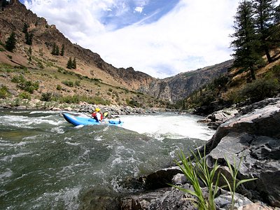
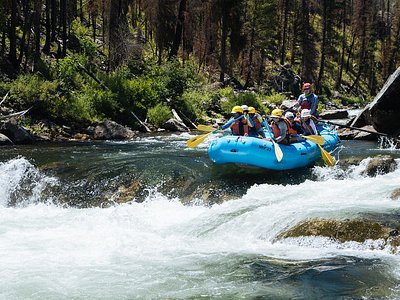
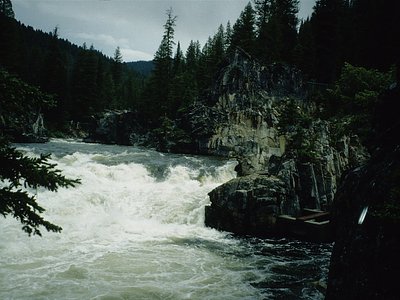
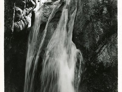
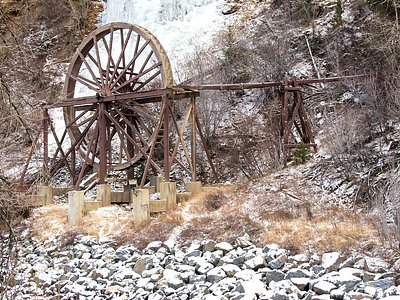
Looking for more outdoor adventures? Explore waterfall hikes near Cox Hot Springs, Idaho.