Boiling Springs
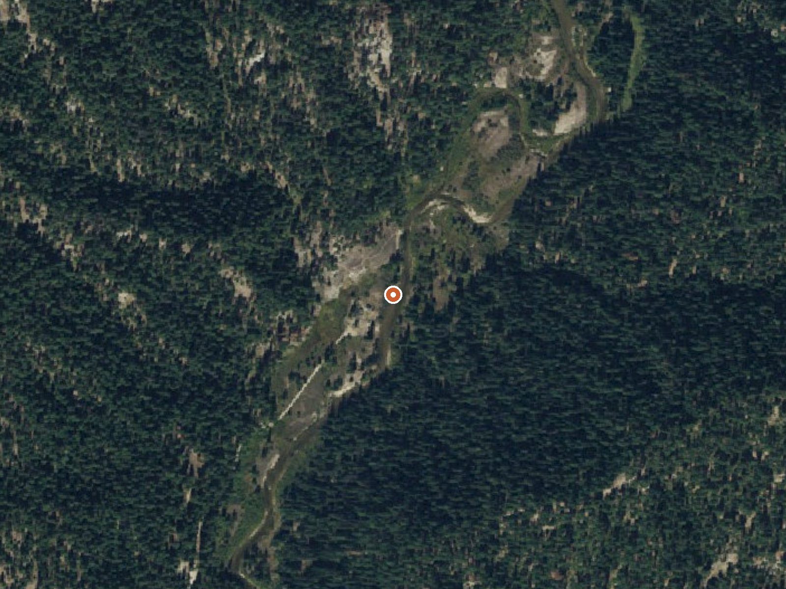
The orange dot marks the spring, in a frame about three quarters of a mile wide.
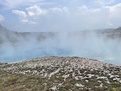
Water at Boiling Springs comes out of the ground far past scalding. Valley County, Idaho, inside Boise National Forest, roughly fourteen miles from Cascade, and it sits right by the road. Boiling Springs Cabin, a Forest Service building, stands a tenth of a mile away. The land is public and access is open. There is a USGS record, and the water was sampled back in 1979.
About three hundred feet from an unnamed road, at around four thousand feet. Snow is heavy, nearly twelve feet a year, in a wet climate. The yearly mean is in the mid forties. Precipitation runs close to three feet. The cabin is the listed camping, essentially on top of the spring. Boise National Forest land, Forest Service.
The source is dangerous. Stay out of it; the water scalds, and nothing in the record says there is a cooled pool. Winter is the listed best season, December through February, and the cabin makes that possible. No fee on file. Iron shows in the chemistry along with the usual minerals.
USGS hasn't flown a detailed laser scan here yet, so this view comes from aerial photos and older elevation data.
- Setting
- Canyon floor
- Steep ground climbs away on both sides of the spring.
- Highest ground nearby
- 356 ft above the spring
- Within a quarter mile, to the southeast
A slice through the ground from north to south, about 0.6 miles end to end.
Elevation data: USGS 3D Elevation Program. Aerial imagery: USGS The National Map. Public domain.
Landsat's thermal camera passed over on a clear winter day, February 23, 2022. This spring's heat shows up from about 440 miles up. The brightest yellow marks the warmest ground, roughly 10°F warmer than the land around it.
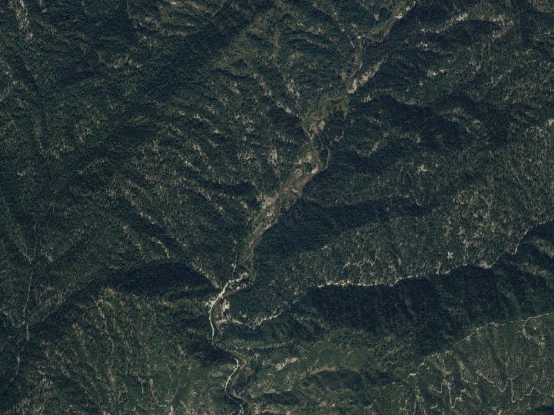
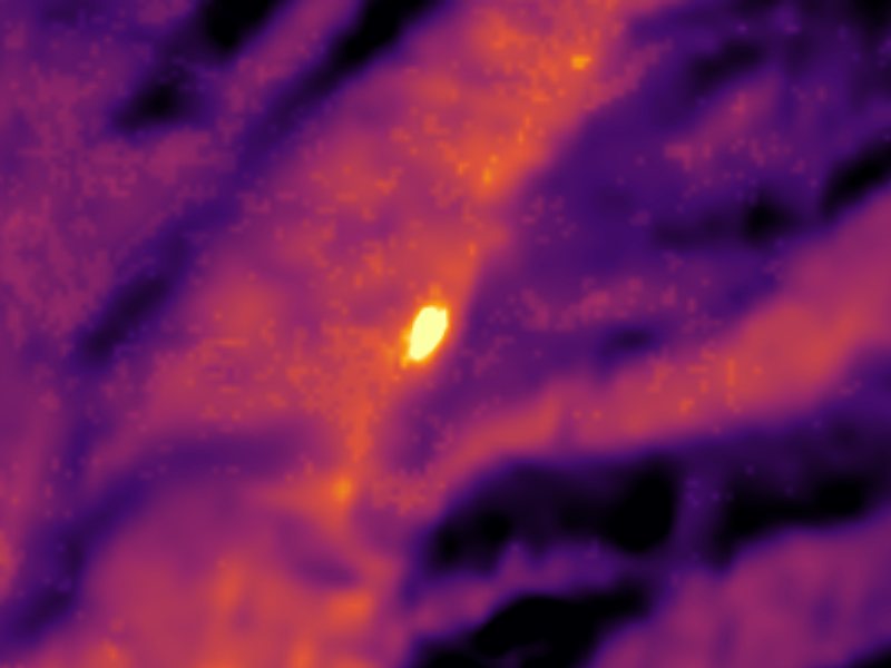
Drag to compare. The view is about 2½ miles across, and each thermal pixel covers roughly 300 feet of ground, so individual pools blur into one warm patch.
Thermal: Landsat 8/9 surface temperature, USGS (public domain), via Microsoft Planetary Computer. Aerial: USGS The National Map. More springs seen from space.
That's about twice the US average of 65. It's higher than at 81% of the springs on this site.
Heat flow measures the warmth working its way up through the ground from deep inside the earth. Where it runs high, rain and snowmelt that seep down through cracks in the rock come back up hot.
See every spring on the geothermal heat map →
Heat flow estimate: Stanford Thermal Earth Model (Aljubran & Horne, 2024), CC BY 4.0.
The water at Boiling Springs is alkaline (pH 8.9) with 260 mg/L total dissolved solids.
Overview The cabin area is open to the general public.Boiling Springs Cabin is a popular destination for those who enjoy soaking in mineral hot springs that are adjacent to the cabin. Other hot springs are within the vicinity as well. Guests who stay here also have a variety of other recreational activities to enjoy, such as fishing, hiking, and off-road motor vehicle riding. The cabin offers many conveniences, but guests should bring some supplies like water and equipment to ensure a comfort...
Springs Near Boiling Springs
More Springs Around 185°F
Alkaline Springs (pH ~8.9)
Hike 6 waterfalls near Boiling Springs
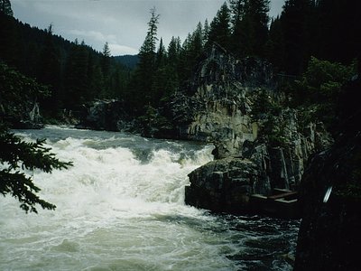
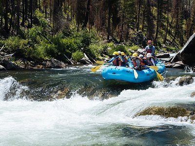
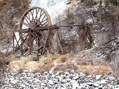
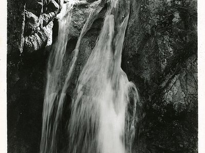
Looking for more outdoor adventures? Explore waterfall hikes near Boiling Springs, Idaho.