Silver Creek Hot Spring
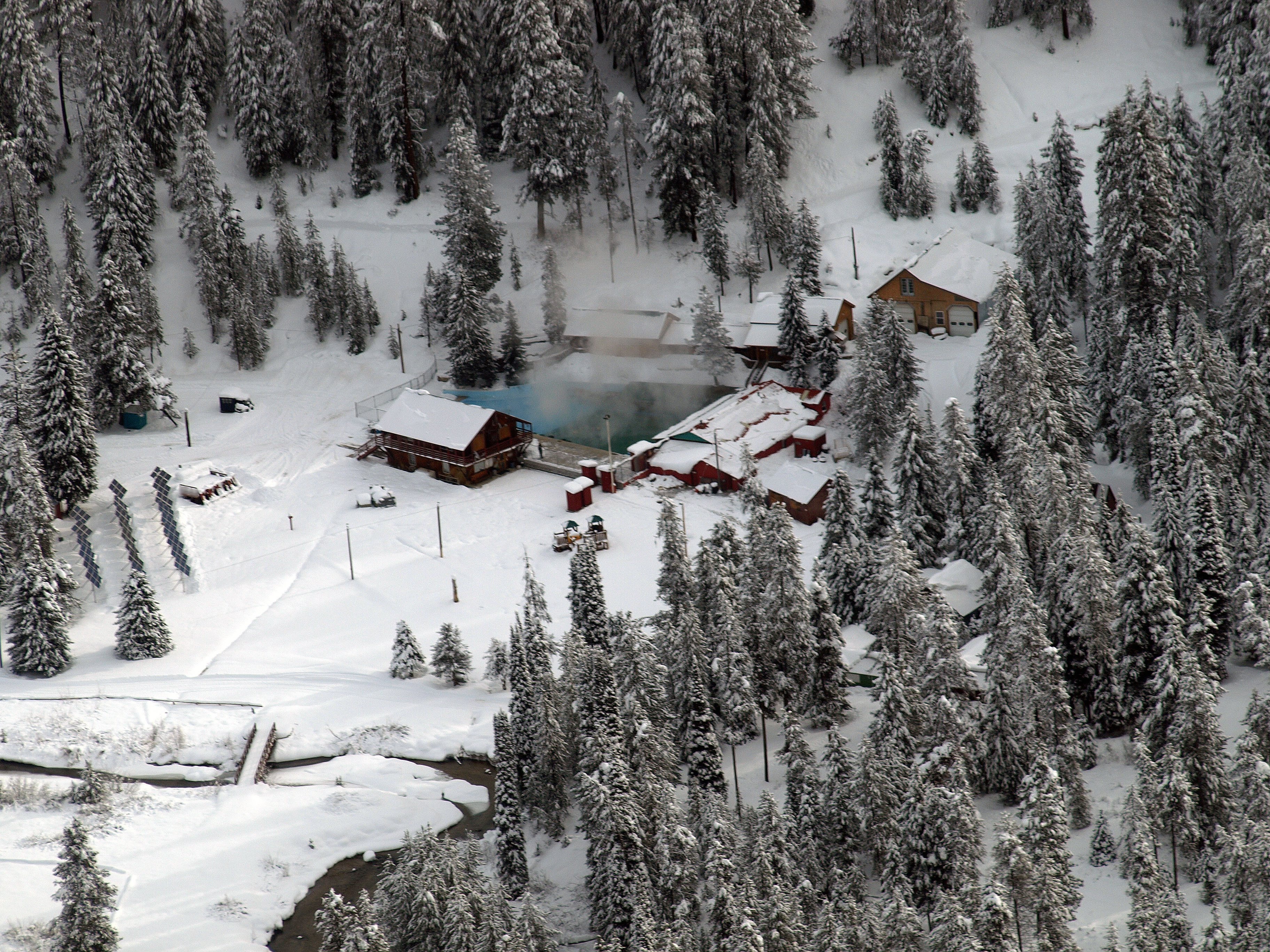
Silver Creek Hot Spring, also called the Silver Creek Plunge, runs at a soaking temperature a little over a hundred degrees in Valley County, roughly seventeen miles from Cascade. It sits around a hundred feet from the road. Nobody recorded the land owner or the access status, so both are unknown. Wikipedia describes it as a geothermal mineral spring about 23 miles north of Crouch.
Around 4,500 feet, and only about a hundred feet off the roadway, so it counts as roadside. Snowfall is heavy all the same, roughly 140 inches in a typical winter, and the area gets a fair amount of rain. Who owns the ground does not appear in the record, and neither does a road name.
Best months, per the record: December through February. Peace Valley Campground is under two miles off. Temperature and chemistry come from an August 1979 USGS sample; the water then was mildly alkaline with low dissolved solids. Access is not on record, so confirm the ownership before going.
Wikipedia lists it as the Silver Creek Plunge, a geothermal mineral spring north of Crouch. OpenStreetMap has it as a plunge pool under a misspelled version of the same name. A USGS site number is attached.
Aircraft with laser scanners measured this ground to within inches. The scan strips out trees and buildings, leaving the bare shape of the land around Silver Creek Hot Spring.
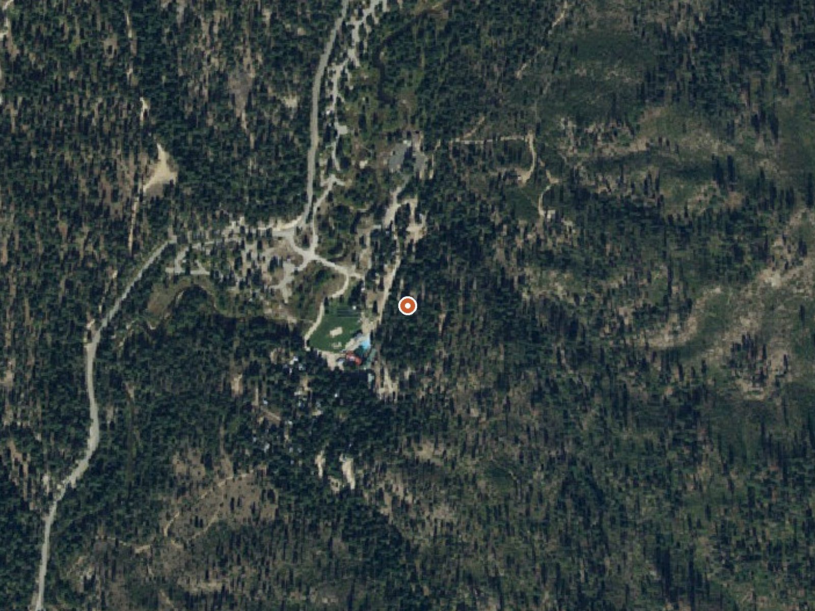
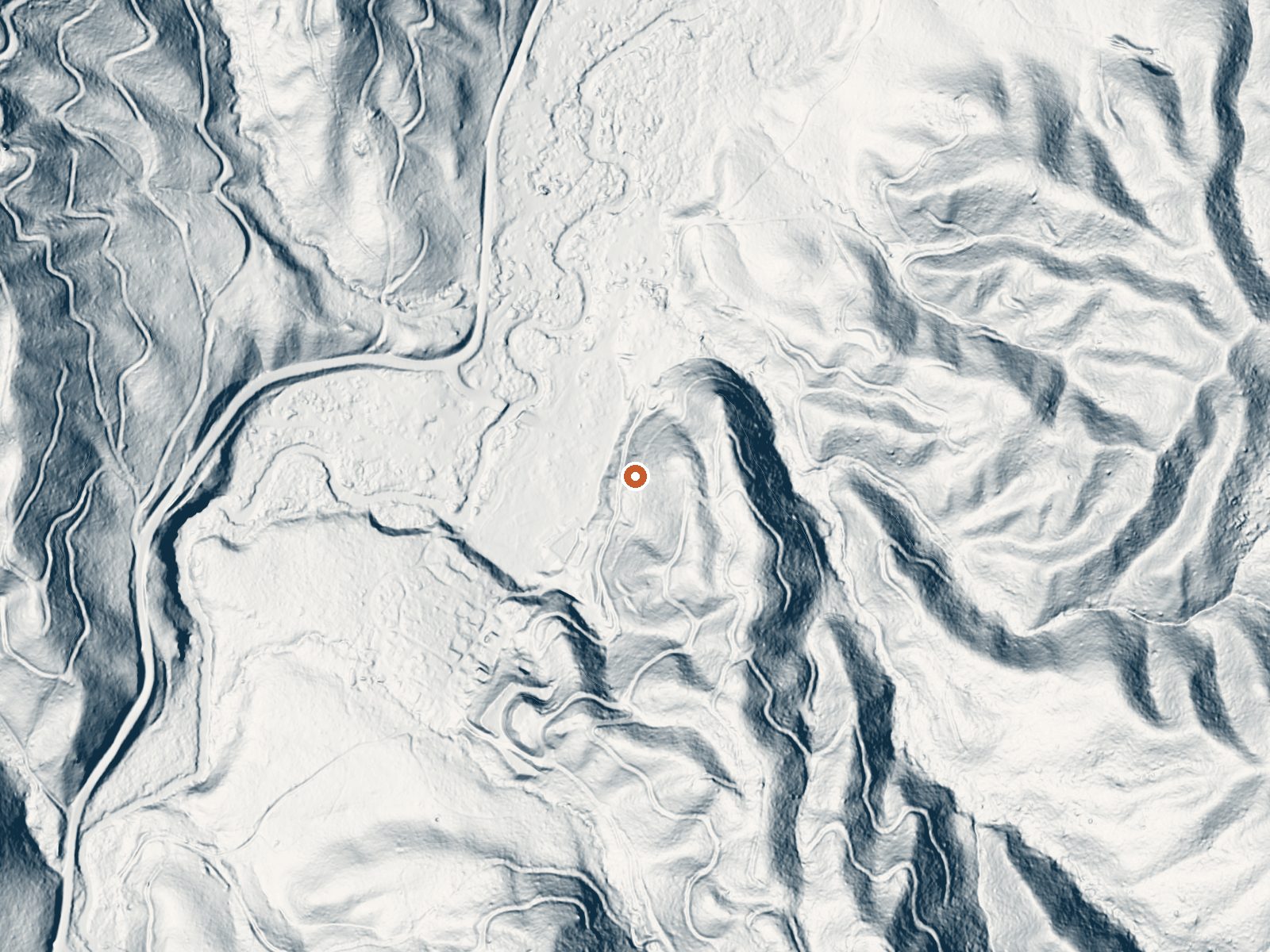
Drag the handle to compare the two views. The orange dot marks the spring, in a frame about three quarters of a mile wide.
- Setting
- Hillside
- The spring sits on a steep slope that climbs to the south.
- Highest ground nearby
- 167 ft above the spring
- Within a quarter mile, to the south
A slice through the ground from west to east, about 0.6 miles end to end.
Elevation data: USGS 3D Elevation Program. Aerial imagery: USGS The National Map. Public domain.
That's about twice the US average of 65. It's higher than at 80% of the springs on this site.
Heat flow measures the warmth working its way up through the ground from deep inside the earth. Where it runs high, rain and snowmelt that seep down through cracks in the rock come back up hot.
See every spring on the geothermal heat map →
Heat flow estimate: Stanford Thermal Earth Model (Aljubran & Horne, 2024), CC BY 4.0.
The water at Silver Creek Hot Spring is alkaline (pH 8.9) with 197 mg/L total dissolved solids.
Some links are affiliate links. We may earn a commission at no extra cost to you.
Overview Peace Valley Campground sits just 27 miles north of Garden Valley, Idaho, at an elevation of 4591 feet. The beautiful Peace Valley offers excellent hiking, motorcycle riding, fishing, and hunting opportunities. Recreation Peace Valley offers several trails for hiking, mountain biking, horseback riding, and OHV use. Peace Creek Trail and Bitter Creek Trail (both motorcycle trails) begin nearby. The Rattlesnake Trail and 465 ATV Trail are in the vicinity of the campground. Peace...
Silver Creek Hot Spring is road-accessible, so you can bring more gear. Cold air temperatures make a changing robe or warm layers essential.






As an Amazon Associate, we earn from qualifying purchases.
Springs Near Silver Creek Hot Spring
More Springs Around 102°F
Alkaline Springs (pH ~8.9)
Hike 6 waterfalls near Silver Creek Hot Spring
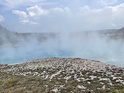
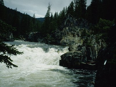
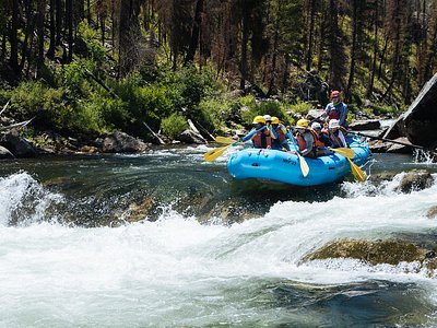
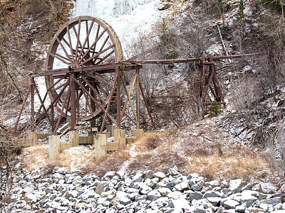
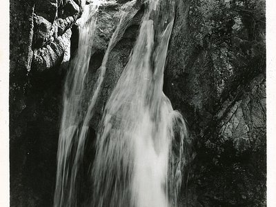
Looking for more outdoor adventures? Explore waterfall hikes near Silver Creek Hot Spring, Idaho.