Kent Warm Spring
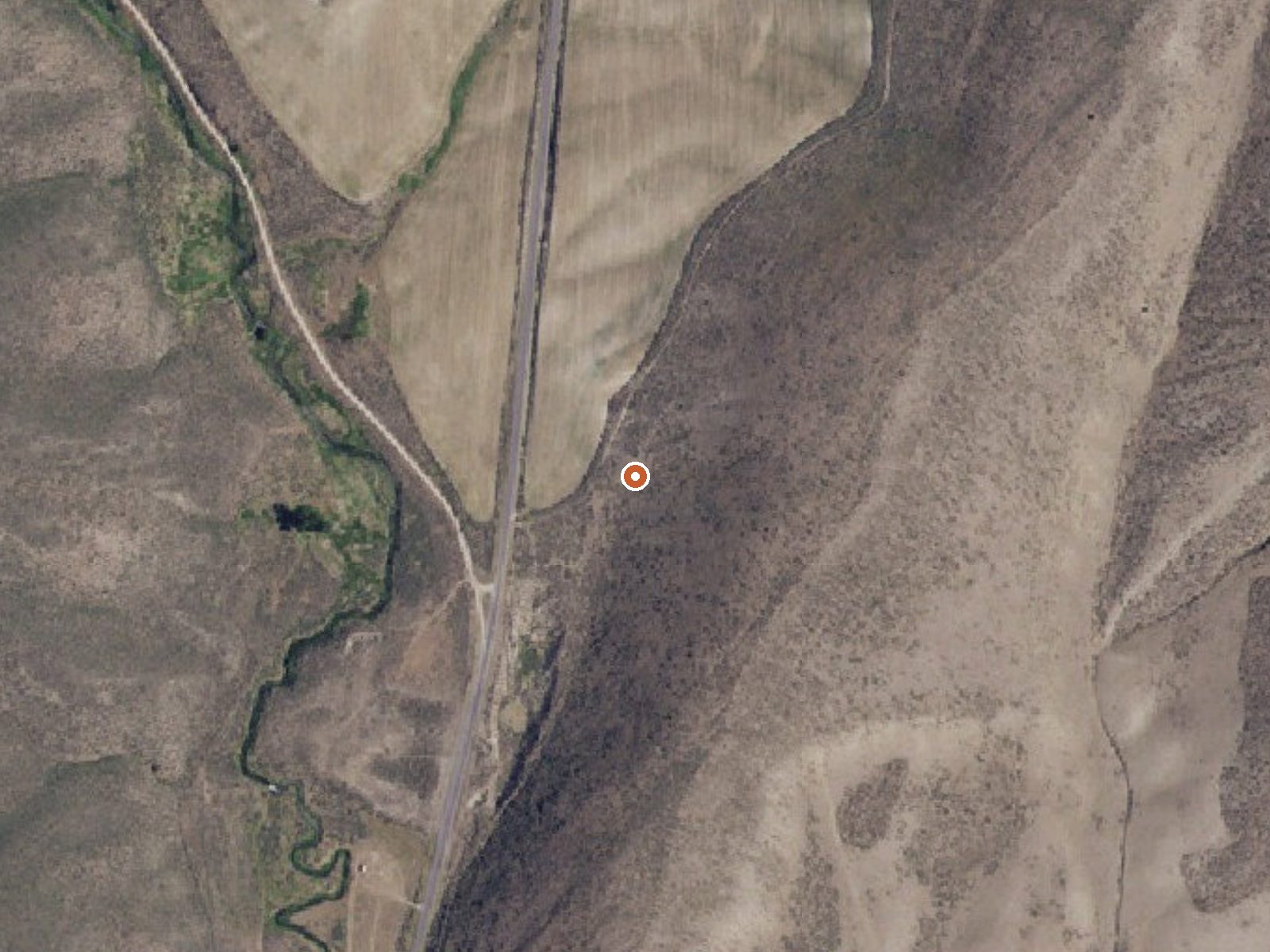
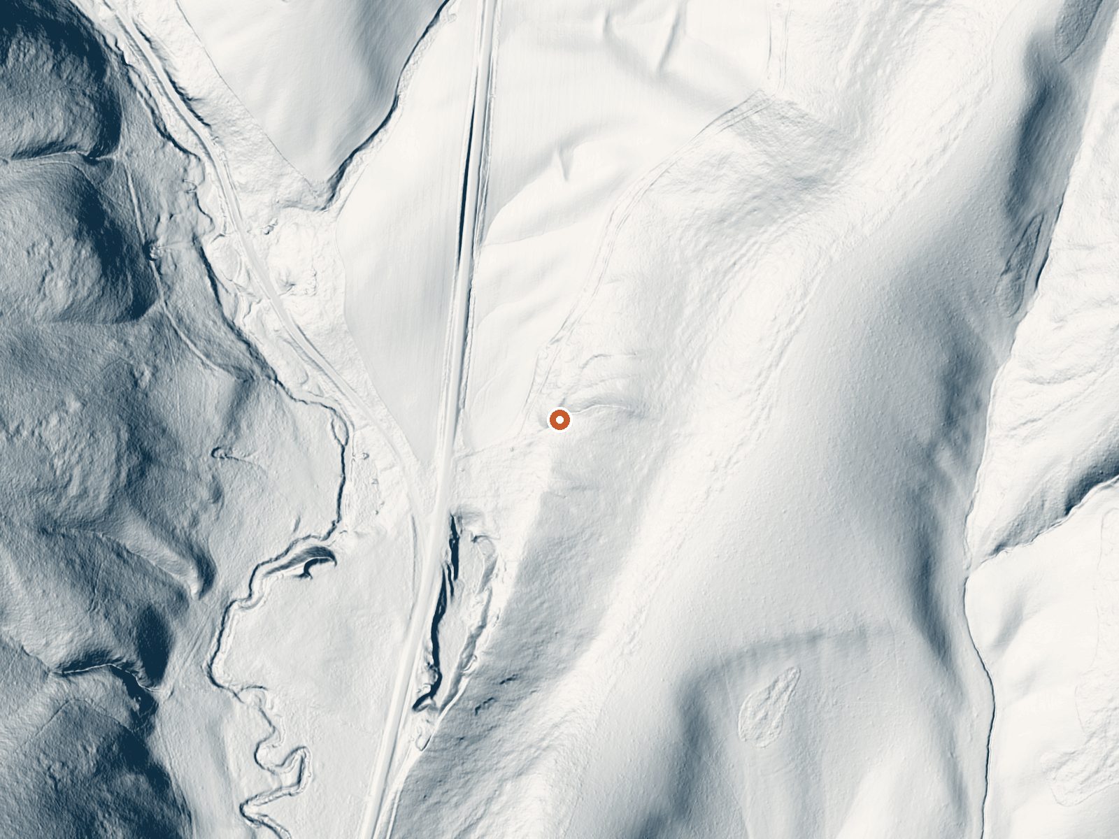
Drag the handle to compare the two views. The orange dot marks the spring, in a frame about three quarters of a mile wide.
Kent Warm Spring is in Oneida County, Idaho, fourteen miles from Malad City. Calling it warm is generous. The recorded temperature sits barely above room temperature, so this is water you might notice in passing on a walk. Ownership and access status are both blank. Chemistry got tested once in 1972 and not since.
From Daniels Road the walk is short, a few hundred feet. Nobody is named as land owner and no land unit appears. This is moderate elevation in southeastern Idaho, with winters that bring around five feet of snow and modest precipitation across the year. The county and the road name are all the record gives for surroundings.
The best season on record is winter, odd as that sounds for water this cool. Malad Summit Campground is about eight miles off. There is no temperature hazard here. Do check who owns the ground, because the record is silent on that and on public access, and bear in mind the chemistry figure is over fifty years old.
Aircraft with laser scanners measured this ground to within inches. The scan strips out trees and buildings, leaving the bare shape of the land around Kent Warm Spring.
- Setting
- Hillside
- The spring sits on a steep slope that climbs to the east.
- Highest ground nearby
- 262 ft above the spring
- Within a quarter mile, to the east
A slice through the ground from northwest to southeast, about 0.6 miles end to end.
Elevation data: USGS 3D Elevation Program. Aerial imagery: USGS The National Map. Public domain.
That's about 1½ times the US average of 65. It's higher than at 65% of the springs on this site.
Heat flow measures the warmth working its way up through the ground from deep inside the earth. Where it runs high, rain and snowmelt that seep down through cracks in the rock come back up hot.
See every spring on the geothermal heat map →
Heat flow estimate: Stanford Thermal Earth Model (Aljubran & Horne, 2024), CC BY 4.0.
The water at Kent Warm Spring is slightly alkaline (pH 7.7).
Overview Malad Summit Campground is situated next to Mill Creek, just 14 miles north of Malad, Idaho, at an elevation of 6,100 feet. Visitors enjoy hiking, horseback riding and off-road vehicle riding on the area's many trails.Recreation Mill Creek offers cutthroat and rainbow trout fishing. Numerous trails begin nearby, including the 12-mile multi-use Summit Trail, which connects with Farmers Canyon, East Elkhorn and Wright Creek trails. Old Canyon and South Canyon trails begin a short dista...