Shower Bath Springs
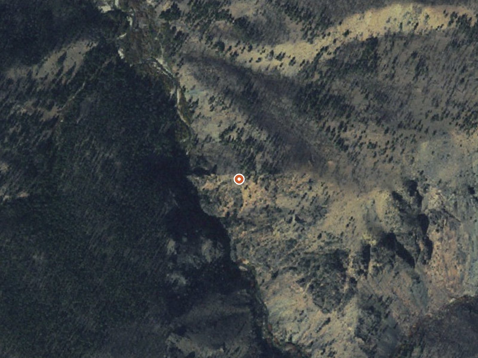
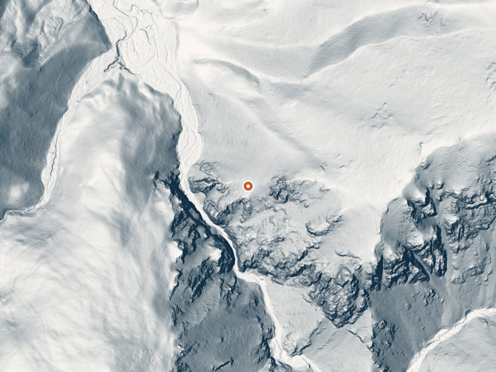
Drag the handle to compare the two views. The orange dot marks the spring, in a frame about three quarters of a mile wide.
The Challis National Forest holds Shower Bath Springs, a hot spring in Custer County some twenty miles from Challis. It reaches the surface well above body temperature, hot enough that you would want it cooled or mixed before getting in. OpenStreetMap maps the same spot as Show Bath Hot Springs, a variant spelling worth knowing when you search elsewhere. Access is open and the way in is on foot.
Forest Service ground at around 6,000 feet. The hike covers two and a half miles or so out from National Forest Development Road 68. Snowfall is heavy, a bit over nine feet in a typical year, and the annual average temperature sits near forty, so the dry season is short. Precipitation is moderate for the Idaho mountains. Nothing beyond the National Forest designation is recorded for the land.
December through February appear as the best months, but given the snow here that means snowshoes or skis, so plan for snow travel in those months or wait for melt-out. Custer #1 Campground is sixteen miles out, give or take. A 1979 USGS sample found strongly alkaline water. Test before entering; water this hot will hurt.
A USGS monitoring site marks the spring, with its published sample from July 1979. OpenStreetMap carries it under the name Show Bath Hot Springs.
Aircraft with laser scanners measured this ground to within inches. The scan strips out trees and buildings, leaving the bare shape of the land around Shower Bath Springs.
- Setting
- Hillside
- The spring sits on a steep slope that climbs to the east.
- Highest ground nearby
- 579 ft above the spring
- Within a quarter mile, to the east
A slice through the ground from west to east, about 0.6 miles end to end.
Elevation data: USGS 3D Elevation Program. Aerial imagery: USGS The National Map. Public domain.
That's about 1½ times the US average of 65. It's higher than at 63% of the springs on this site.
Heat flow measures the warmth working its way up through the ground from deep inside the earth. Where it runs high, rain and snowmelt that seep down through cracks in the rock come back up hot.
See every spring on the geothermal heat map →
Heat flow estimate: Stanford Thermal Earth Model (Aljubran & Horne, 2024), CC BY 4.0.
The water at Shower Bath Springs is alkaline (pH 9.3).
Some links are affiliate links. We may earn a commission at no extra cost to you.
This campground is along the Custer Motorway just above the townsite of Custer, a boom town during the late 1800's. Visit the museum, open 9 - 5 Memorial Day through Labor Day. Facilities include 6 sites with picnic tables and fire rings with cooking grills. Campground has a vault toilet and can accommodate trailers and motorhomes up to 32 feet long.
Shower Bath Springs sits at 6,080 feet above sea level, way above the mile-high mark. You may not feel the altitude strongly, but hot water still dehydrates you faster at elevation. UV is about 24% stronger than at sea level, so bring sunscreen and drink more water than you normally would.



As an Amazon Associate, we earn from qualifying purchases.
Shower Bath Springs is road-accessible, so you can bring more gear. The water runs hot, so extra hydration is key. Cold air temperatures make a changing robe or warm layers essential.





As an Amazon Associate, we earn from qualifying purchases.
Springs Near Shower Bath Springs
More Springs Around 122°F
Alkaline Springs (pH ~9.3)
Hike 6 waterfalls near Shower Bath Springs
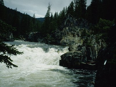
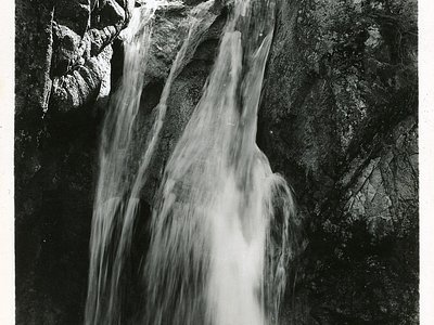
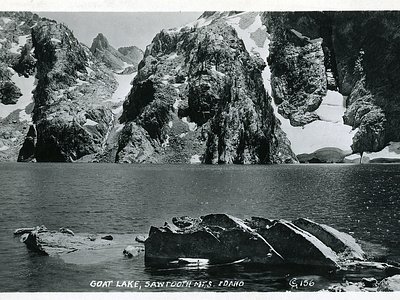
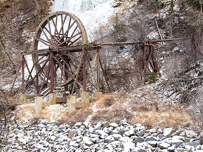
Looking for more outdoor adventures? Explore waterfall hikes near Shower Bath Springs, Idaho.