Towne Creek Warm Spring

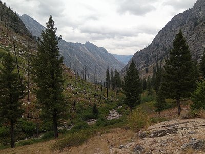
Towne Creek Warm Spring sits six feet from Forest Road 114, tepid at around 75 degrees, in Elmore County some 32 miles from Mountain Home. Neither owner nor access status is recorded. A USGS sample from 1981 gives the temperature and a near-neutral chemistry. There is a photo on file for this one.
Elevation about 4,400 feet, snow about 95 inches, precipitation two feet, and yearly temperatures that average mid forties. The spring is at the edge of Forest Road 114, close enough that getting there takes no effort. Nobody has recorded an owner, and the land unit is likewise missing. Forest Road 114 is the only named thing on file.
The winter months are what the record calls best. Dog Creek campground is about two miles away, the closest listed. The water is only tepid, so burns are not a concern. The access question is open; check before stopping. No fee is noted.
The USGS site for Towne Creek Warm Spring carries one published sample, from August 1981.
Aircraft with laser scanners measured this ground to within inches. The scan strips out trees and buildings, leaving the bare shape of the land around Towne Creek Warm Spring.
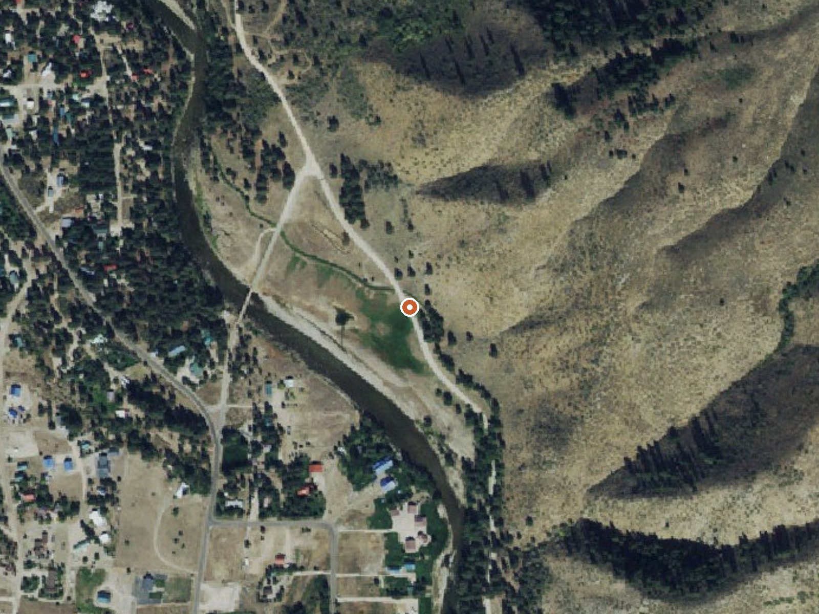
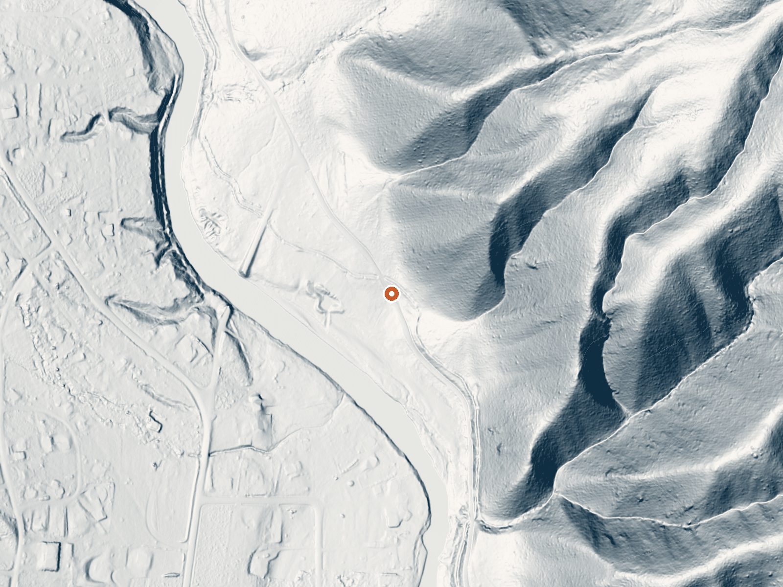
Drag the handle to compare the two views. The orange dot marks the spring, in a frame about three quarters of a mile wide.
- Setting
- Hillside
- The spring sits on a steep slope that climbs to the northeast.
- Highest ground nearby
- 584 ft above the spring
- Within a quarter mile, to the northeast
A slice through the ground from southwest to northeast, about 0.6 miles end to end.
Elevation data: USGS 3D Elevation Program. Aerial imagery: USGS The National Map. Public domain.
That's about twice the US average of 65. It's higher than at 81% of the springs on this site.
Heat flow measures the warmth working its way up through the ground from deep inside the earth. Where it runs high, rain and snowmelt that seep down through cracks in the rock come back up hot.
See every spring on the geothermal heat map →
Heat flow estimate: Stanford Thermal Earth Model (Aljubran & Horne, 2024), CC BY 4.0.
The water at Towne Creek Warm Spring is slightly acidic (pH 6.7).
Some links are affiliate links. We may earn a commission at no extra cost to you.
Overview Dog Creek Campground is located on the banks of Dog Creek, at the foot of the Trinity Mountain Range. It is four miles from the town of Pine, in south-central Idaho. Visitors enjoy fishing, swimming and exploring local trails. Recreation The South Fork Boise River is less than a quarter-mile away from the campground, offering rafting, swimming and fishing for rainbow trout. Paradise Hot Springs is nearby. Green Creek Trail 270, a 4.5-mile trail for hiking, horseback riding, biking a...
Towne Creek Warm Spring is road-accessible, so you can bring more gear.






As an Amazon Associate, we earn from qualifying purchases.
Springs Near Towne Creek Warm Spring
More Springs Around 75°F
Slightly Acidic Springs (pH ~6.7)
Hike 6 waterfalls near Towne Creek Warm Spring
Looking for more outdoor adventures? Explore waterfall hikes near Towne Creek Warm Spring, Idaho.