Warfield Hot Spring
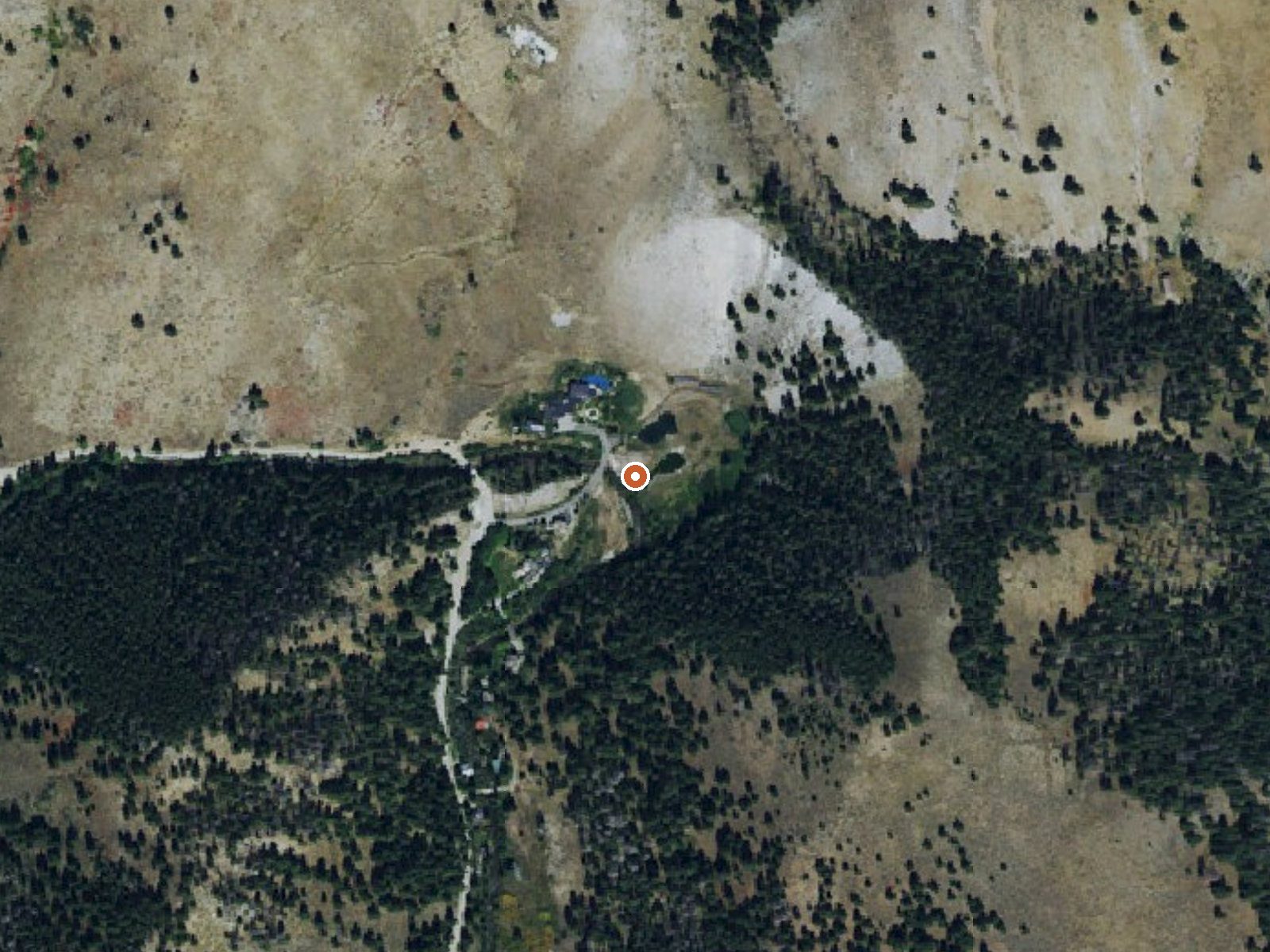
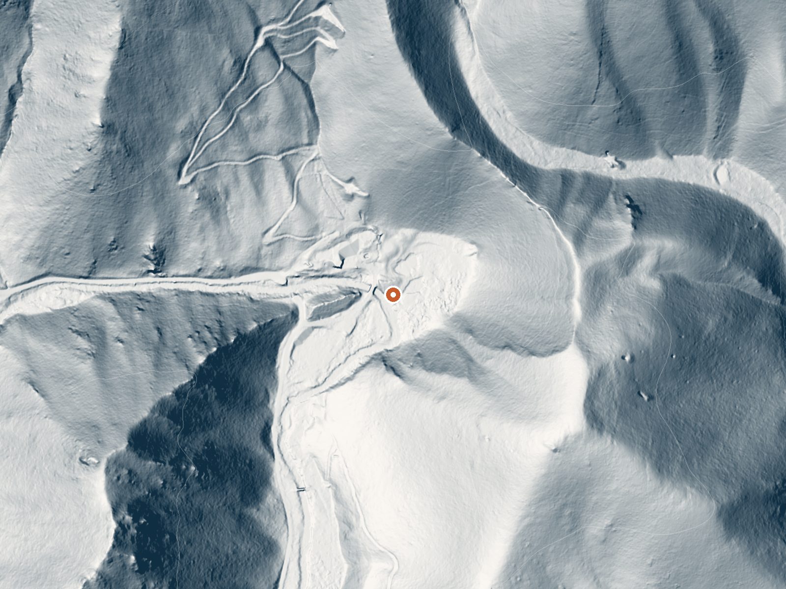
Drag the handle to compare the two views. The orange dot marks the spring, in a frame about three quarters of a mile wide.
Warfield Hot Spring is the name the survey uses; Wikipedia calls the same place Frenchman's Hot Springs or Frenchman's Bend. It lies along Warm Springs Creek outside Ketchum in Blaine County, with source water hot enough that it needs cooling before anyone sits in it. No owner appears in the record, though Wikipedia places it within the Sawtooth National Forest. No public access status is on file.
You can pull up almost on top of it, roughly a hundred feet off an unnamed road. Above six thousand feet, so winter means snow, over a hundred inches in an average year, with the climate dry the rest of the time. Ketchum is six and a half miles away by the record and eleven by the Wikipedia entry.
The coldest months of the year are the ones recommended. Easley Campground is about ten miles off. The source is hot, and the pools Wikipedia describes will vary; test before settling in. Access is not recorded, so confirm locally. The temperature was measured in May 1988.
Wikipedia describes Frenchman's Hot Springs, also known as Frenchman's Bend or Warfield Hot Springs, as three wide, shallow pools along Warm Springs Creek in the Sawtooth National Forest, walled with rock and floored with sand and gravel.
Aircraft with laser scanners measured this ground to within inches. The scan strips out trees and buildings, leaving the bare shape of the land around Warfield Hot Spring.
- Setting
- Canyon floor
- Steep ground climbs away on both sides of the spring.
- Highest ground nearby
- 477 ft above the spring
- Within a quarter mile, to the north
A slice through the ground from west to east, about 0.6 miles end to end.
Elevation data: USGS 3D Elevation Program. Aerial imagery: USGS The National Map. Public domain.
That's about 1½ times the US average of 65. It's higher than at 55% of the springs on this site.
Heat flow measures the warmth working its way up through the ground from deep inside the earth. Where it runs high, rain and snowmelt that seep down through cracks in the rock come back up hot.
See every spring on the geothermal heat map →
Heat flow estimate: Stanford Thermal Earth Model (Aljubran & Horne, 2024), CC BY 4.0.
The water at Warfield Hot Spring is alkaline (pH 9.0).
Some links are affiliate links. We may earn a commission at no extra cost to you.
Overview Easley Campground is located along the beautiful Big Wood River at an elevation of 6800 feet, conveniently close to Ketchum, Idaho only 14 miles south. Visitors enjoy fishing, hiking and soaking at Easley Hot Springs.Recreation Easley is part of the Sawtooth National Recreation Area, where outdoor activities abound. Fly-fishing for rainbow, brown and brook trout is popular on the Big Wood River, as is float tubing. The 20-mile Harriman Trail passes through the campground, offering...
Warfield Hot Spring sits at 6,250 feet above sea level, way above the mile-high mark. You may not feel the altitude strongly, but hot water still dehydrates you faster at elevation. UV is about 25% stronger than at sea level, so bring sunscreen and drink more water than you normally would.



As an Amazon Associate, we earn from qualifying purchases.
Warfield Hot Spring is road-accessible, so you can bring more gear. The water runs hot, so extra hydration is key. Cold air temperatures make a changing robe or warm layers essential.





As an Amazon Associate, we earn from qualifying purchases.
Springs Near Warfield Hot Spring
More Springs Around 124°F
Alkaline Springs (pH ~9.0)
Hike 6 waterfalls near Warfield Hot Spring
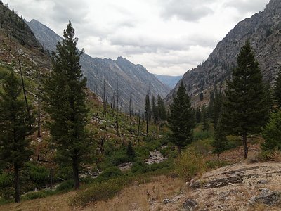
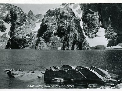
Looking for more outdoor adventures? Explore waterfall hikes near Warfield Hot Spring, Idaho.