Sand Spring
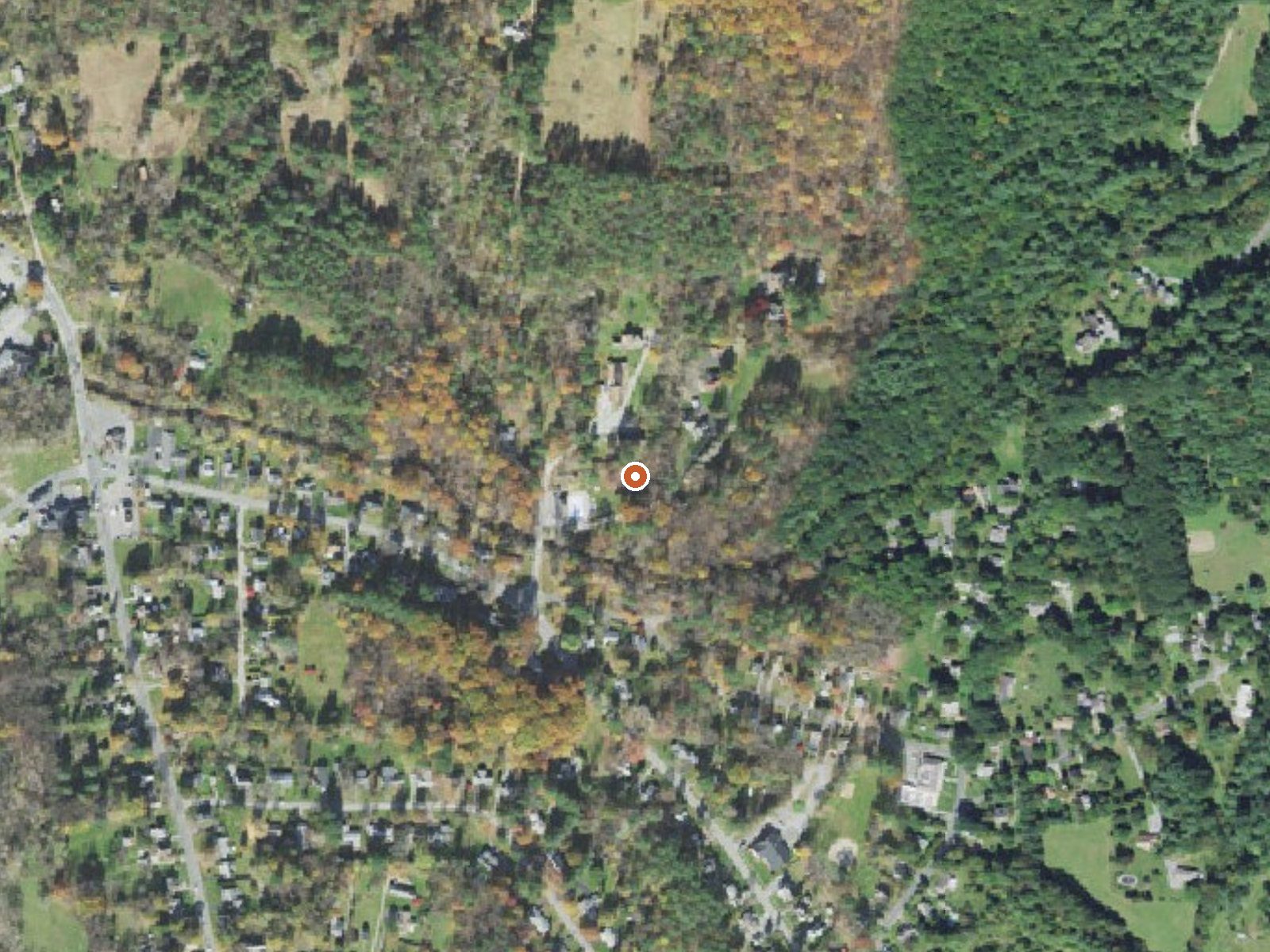
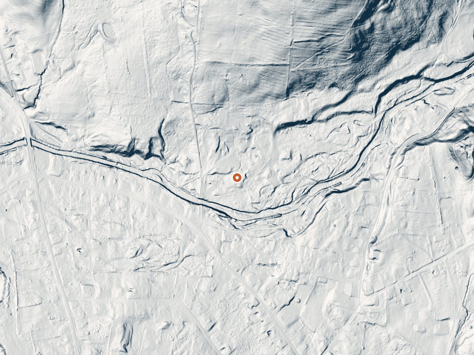
Drag the handle to compare the two views. The orange dot marks the spring, in a frame about three quarters of a mile wide.
Sand Spring is a warm spring in Williamstown, Massachusetts, in Berkshire County, and the town is right on top of it. The water is tepid, well short of bath temperature, and low in dissolved minerals. The USGS sampled it back in 1969. Whether the public can visit is not on record.
McLain Court runs about a hundred feet from the spring, so this is as roadside as it gets, inside a town. Low elevation. The Berkshires are wet, with roughly four feet of rainfall annually, and winters bury the ground in snow for months. Nothing in our record names a land owner.
The file calls midwinter the best time. Nothing says who holds the land, and visiting rights are unrecorded, so since it sits beside a town street, treat it as private unless you learn otherwise. Grout Pond is the only campground in the file, about twenty-five miles away. At this temperature nobody soaks for warmth.
Aircraft with laser scanners measured this ground to within inches. The scan strips out trees and buildings, leaving the bare shape of the land around Sand Spring.
- Setting
- Gentle slope
- The ground tilts gently up to the northeast.
- Highest ground nearby
- 197 ft above the spring
- Within a quarter mile, to the northeast
A slice through the ground from southwest to northeast, about 0.6 miles end to end.
Elevation data: USGS 3D Elevation Program. Aerial imagery: USGS The National Map. Public domain.
That's close to the US average of 65. It's higher than at 3% of the springs on this site.
Heat flow measures the warmth working its way up through the ground from deep inside the earth. Where it runs high, rain and snowmelt that seep down through cracks in the rock come back up hot.
See every spring on the geothermal heat map →
Heat flow estimate: Stanford Thermal Earth Model (Aljubran & Horne, 2024), CC BY 4.0.
The water at Sand Spring is slightly alkaline (pH 8.1) with 114 mg/L total dissolved solids.
Overview Grout Pond is a popular destination for camping, hiking, paddling, and fishing. Located in a beautiful mixed conifer and hardwood forest, the campground has 12 reservable sites and offers easy access to over 10 miles of mulituse trails. The Green Mountain National Forest in partnership with the Vermont Huts Association has a cabin located at the Grout Pond Campground available for reservations. The Grout Pond Hut (pictured above) is open for year-round use and is located within the s...
Springs Near Sand Spring
More Springs Around 75°F
Slightly Alkaline Springs (pH ~8.1)
Hike 6 waterfalls near Sand Spring
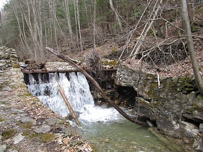
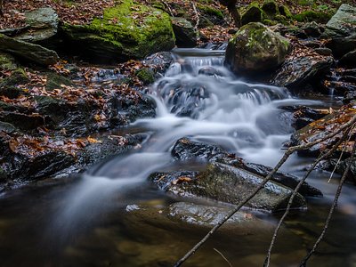
Looking for more outdoor adventures? Explore waterfall hikes near Sand Spring, Massachusetts.