Nimrod Springs
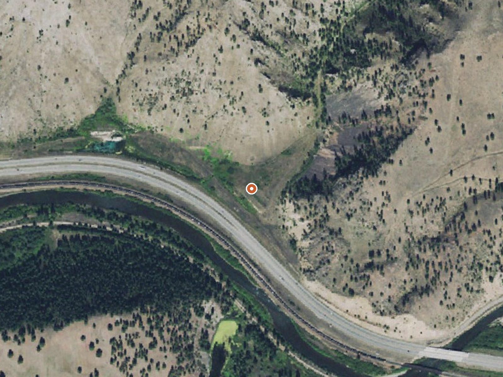
The orange dot marks the spring, in a frame about three quarters of a mile wide.
Nimrod Springs, labeled Nimrod Warm Springs on OpenStreetMap, is a tepid roadside spring in Missoula County, Montana, about thirteen miles from Clinton. The water is on the low edge of warm, the kind you notice with your hand and would not sit in. The USGS has a numbered site on it, sampled in 1987. Ownership and access are not recorded.
About three hundred feet from the road. The spring lies low. Winters bring close to six feet of snow and the non-winter months are reasonably wet. Douglas Creek Cabin is the only camping in the record, twenty-one miles away, which is far enough that it barely counts. No land unit or trail is named.
The season on file is winter. Soaking is off the table at this temperature. Camping is distant, so this is a stop on the way somewhere, if it is anything. Access is not on record and neither is an owner, so ask before leaving the road. The 1987 chemistry was mildly alkaline.
OpenStreetMap carries the name Nimrod Warm Springs, which matches the water better than the plain Nimrod Springs in the main record. The USGS maintains a numbered site here; the chemistry dates to September 1987.
USGS hasn't flown a detailed laser scan here yet, so this view comes from aerial photos and older elevation data.
- Setting
- Canyon floor
- Steep ground climbs away on both sides of the spring.
- Highest ground nearby
- 661 ft above the spring
- Within a quarter mile, to the north
A slice through the ground from southwest to northeast, about 0.6 miles end to end.
Elevation data: USGS 3D Elevation Program. Aerial imagery: USGS The National Map. Public domain.
That's about 1½ times the US average of 65. It's higher than at 50% of the springs on this site.
Heat flow measures the warmth working its way up through the ground from deep inside the earth. Where it runs high, rain and snowmelt that seep down through cracks in the rock come back up hot.
See every spring on the geothermal heat map →
Heat flow estimate: Stanford Thermal Earth Model (Aljubran & Horne, 2024), CC BY 4.0.
The water at Nimrod Springs is slightly alkaline (pH 7.8). It is notably rich in calcium (may support bone density and joint health), magnesium (known for muscle relaxation and stress relief), and sulfate (traditionally used for skin conditions and inflammation).
Some links are affiliate links. We may earn a commission at no extra cost to you.
Overview Douglas Creek Cabin offers a great way to access the various seasonal activities available in the Beaverhead-Deerlodge National Forest in western Montana. While hunting enthusiasts enjoy the cabin during bow and rifle seasons, it is popular for snowmobiling or cross-country skiing in the winter and hiking in the summer. The cabin is in a very remote location, giving anyone an outdoor recreational experience they will never forget.Access to the cabin is limited by weather conditions....
Nimrod Springs is road-accessible, so you can bring more gear.






As an Amazon Associate, we earn from qualifying purchases.
Springs Near Nimrod Springs
More Springs Around 70°F
Slightly Alkaline Springs (pH ~7.8)
Hike 6 waterfalls near Nimrod Springs
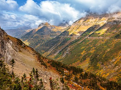
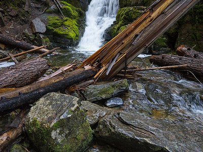
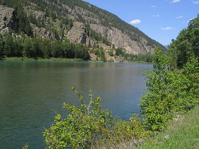
Looking for more outdoor adventures? Explore waterfall hikes near Nimrod Springs, Montana.