Ash Springs
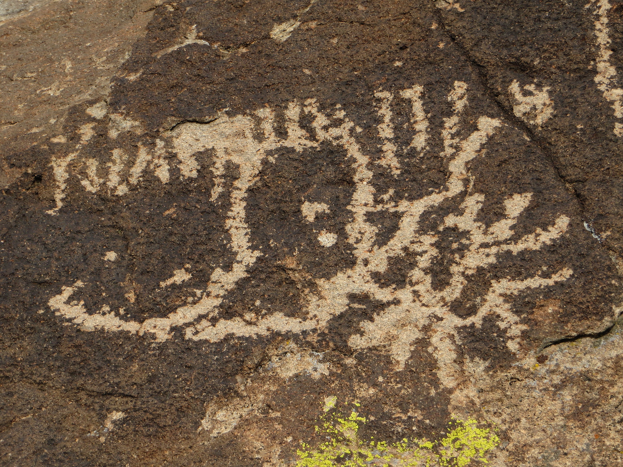
Ash Springs shares its name with the community around it in the Pahranagat Valley of Lincoln County, Nevada, six miles or so from Alamo. The water is body temperature, the kind you can sit in for a long while. It is BLM ground under the Caliente Field Office and access is open. The chemistry is neutral, with calcium, magnesium, sodium and sulfate in the water, from a sample taken in 1981.
The road is under three hundred feet away. This is valley floor, low and dry, with summers that run hot and winters that rarely hold snow for long. The community of Ash Springs is a ranching place, so expect working land around the public parcel. Beyond the BLM designation the file gives no description of the springs themselves.
Winter months are the listed season. The spring is a roadside stop and the access is open, two things that take most of the guesswork out of a visit. No fee or campground appears in the record. Body-warm water is safe to soak in for a long time, though the sample it was measured from is decades old. Check the current state of the site when you arrive; the file has nothing newer than 1981.
Ash Springs is an unincorporated community whose main business is ranching. The name comes from the desert ash trees growing nearby.
USGS hasn't flown a detailed laser scan here yet, so this view comes from aerial photos and older elevation data.
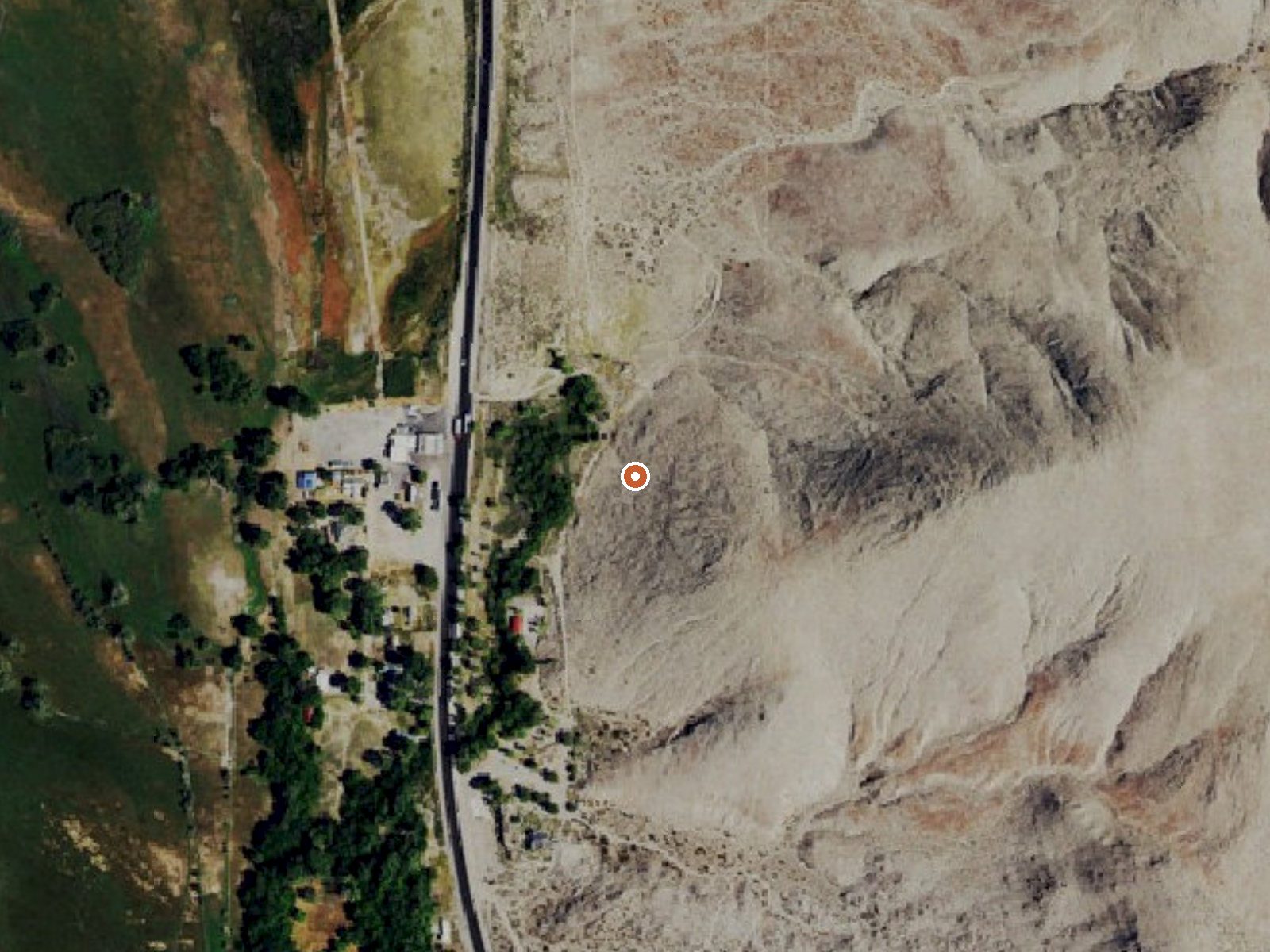
The orange dot marks the spring, in a frame about three quarters of a mile wide.
- Setting
- Hillside
- The spring sits on a steep slope that climbs to the east.
- Highest ground nearby
- 355 ft above the spring
- Within a quarter mile, to the east
A slice through the ground from northwest to southeast, about 0.6 miles end to end.
Elevation data: USGS 3D Elevation Program. Aerial imagery: USGS The National Map. Public domain.
That's about 1½ times the US average of 65. It's higher than at 46% of the springs on this site.
Heat flow measures the warmth working its way up through the ground from deep inside the earth. Where it runs high, rain and snowmelt that seep down through cracks in the rock come back up hot.
See every spring on the geothermal heat map →
Heat flow estimate: Stanford Thermal Earth Model (Aljubran & Horne, 2024), CC BY 4.0.
The water at Ash Springs is neutral (pH 7.0).
Some links are affiliate links. We may earn a commission at no extra cost to you.
Ash Springs is road-accessible, so you can bring more gear.






As an Amazon Associate, we earn from qualifying purchases.