Springs
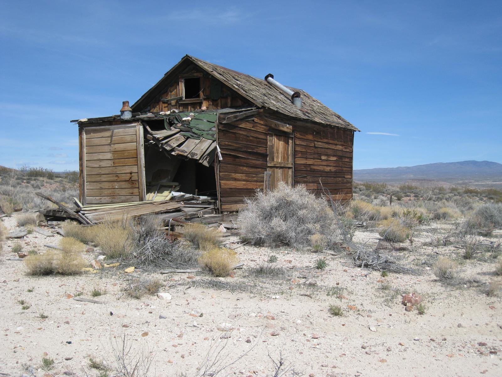
A group of springs on Tonopah Field Office land about six miles from Beatty, with a tepid reading that will not warm anyone through. BLM holds the ground and access is open. There is no photo and no second name. The figure is an undated USGS survey value, so the water may run differently now.
Expect a walk of about a third of a mile from a road that goes unnamed in the listing. Low desert, scant rain, snow that barely registers in most years. Open public land with the plain public designation.
Visit in the cold months. Access is open but the tepid reading sets expectations low. Fee, chemistry, campground, photo: none of those appear on file. A short walk is the access class, so leave the car and expect some distance on foot.
USGS hasn't flown a detailed laser scan here yet, so this view comes from aerial photos and older elevation data.

The orange dot marks the spring, in a frame about three quarters of a mile wide.
- Setting
- Canyon floor
- Steep ground climbs away on both sides of the spring.
- Highest ground nearby
- 204 ft above the spring
- Within a quarter mile, to the south
A slice through the ground from south to north, about 0.6 miles end to end.
Elevation data: USGS 3D Elevation Program. Aerial imagery: USGS The National Map. Public domain.
That's about 1½ times the US average of 65. It's higher than at 48% of the springs on this site.
Heat flow measures the warmth working its way up through the ground from deep inside the earth. Where it runs high, rain and snowmelt that seep down through cracks in the rock come back up hot.
See every spring on the geothermal heat map →
Heat flow estimate: Stanford Thermal Earth Model (Aljubran & Horne, 2024), CC BY 4.0.
Some links are affiliate links. We may earn a commission at no extra cost to you.
Springs is road-accessible, so you can bring more gear.




As an Amazon Associate, we earn from qualifying purchases.