Unnamed Thermal Spring
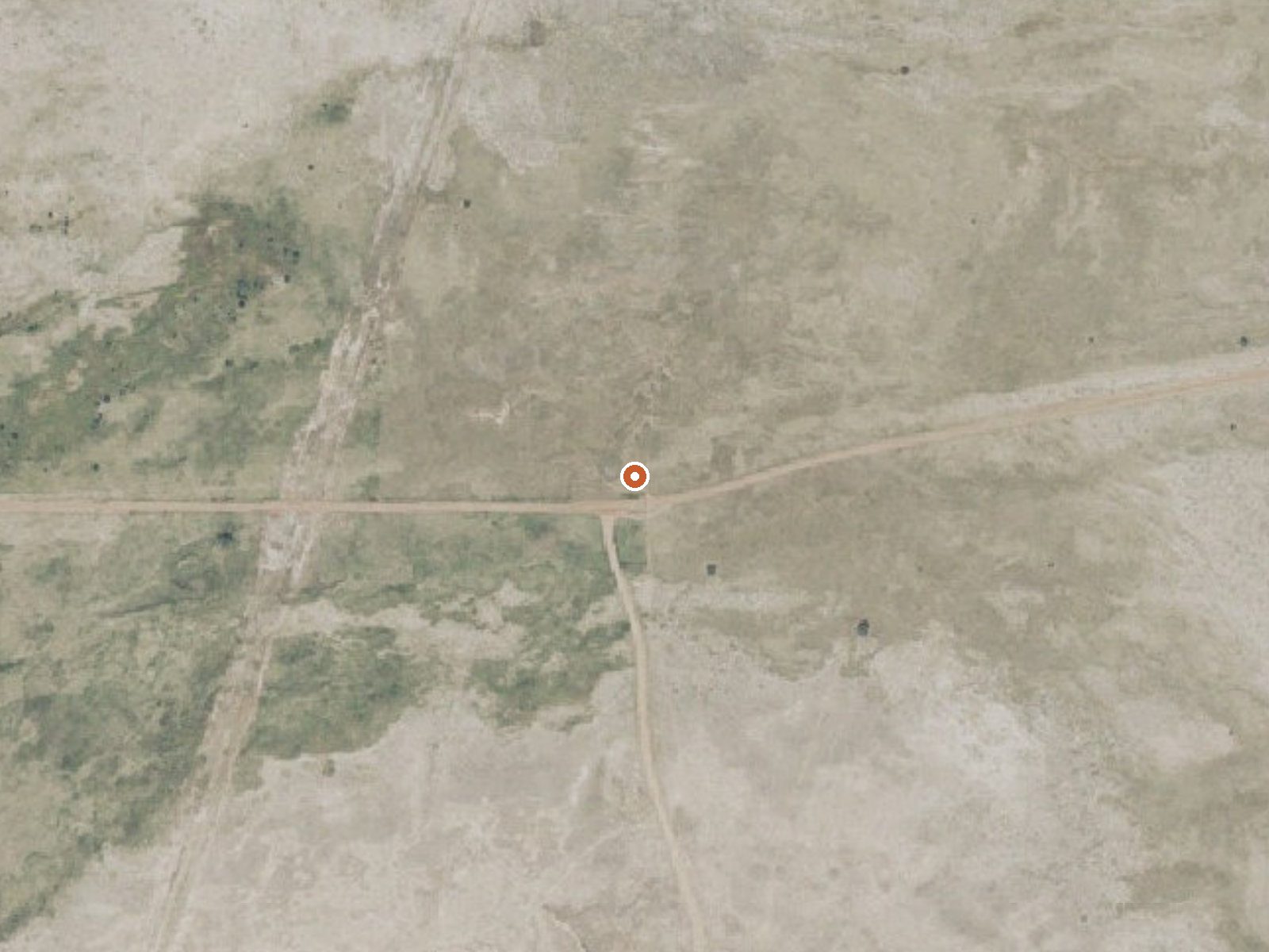
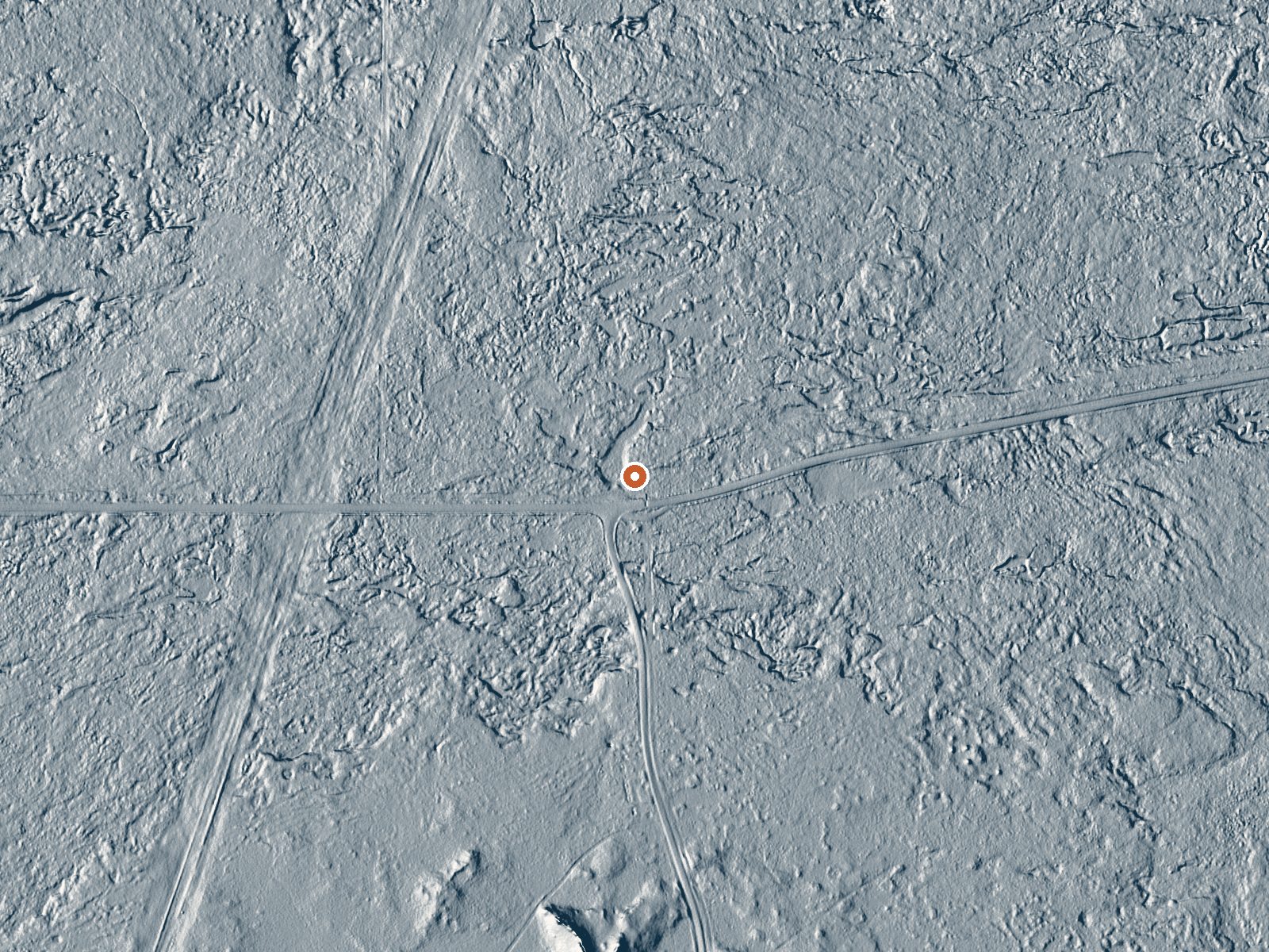
Drag the handle to compare the two views. The orange dot marks the spring, in a frame about three quarters of a mile wide.
An unnamed thermal point in Millard County, about ten miles from Fillmore, sitting on Hot Spring Road. The water comes up tepid, low seventies. A 1985 sample found it salty and iron bearing, with dissolved solids several times what you would find in tap water. No name, no owner, no access status. The road name is the best clue to what is here.
You can nearly park on top of it. Hot Spring Road runs within ninety feet of the source. Elevation is a little under five thousand feet. Snowfall is about four feet a year and total moisture fifteen inches, a dry valley with cold winters. No land unit or designation appears on file and there is no photograph to show you what to expect.
December through February is the rated season. Adelaide Campground, about ten miles out, is the camping anyone has noted. Public access is unknown, so ask around about who holds the ground before you pull over. Iron and salt in the water will stain and will smell. That temperature reading dates to 1985.
Aircraft with laser scanners measured this ground to within inches. The scan strips out trees and buildings, leaving the bare shape of the land around this spring.
- Setting
- Open ground
- Flat, open ground all around.
- Highest ground nearby
- 10 ft above the spring
- Within a quarter mile, to the southwest
A slice through the ground from south to north, about 0.6 miles end to end.
Elevation data: USGS 3D Elevation Program. Aerial imagery: USGS The National Map. Public domain.
That's about 1½ times the US average of 65. It's higher than at 18% of the springs on this site.
Heat flow measures the warmth working its way up through the ground from deep inside the earth. Where it runs high, rain and snowmelt that seep down through cracks in the rock come back up hot.
See every spring on the geothermal heat map →
Heat flow estimate: Stanford Thermal Earth Model (Aljubran & Horne, 2024), CC BY 4.0.
The water at This spring is neutral (pH 6.8) with 5000 mg/L total dissolved solids. It is notably rich in calcium (may support bone density and joint health), magnesium (known for muscle relaxation and stress relief), and sodium (supports circulation and skin hydration).
Overview Adelaide Campground is located in Corn Creek Canyon on the south end of the Pahvant Mountain Range near Kanosh, Utah.Recreation Corn Creek offers brown and rainbow trout fishing. Hiking and biking trails begin nearby, and the Paiute ATV trail can be easily accessed from the site.Facilities The campground offers 1 group site which can accommodate 48 guests and up to 15 vehicles. 9 individual sites are also available. These sites can accommodate 6 to 8 guests and 2 vehicles. All of th...