Warm Spring
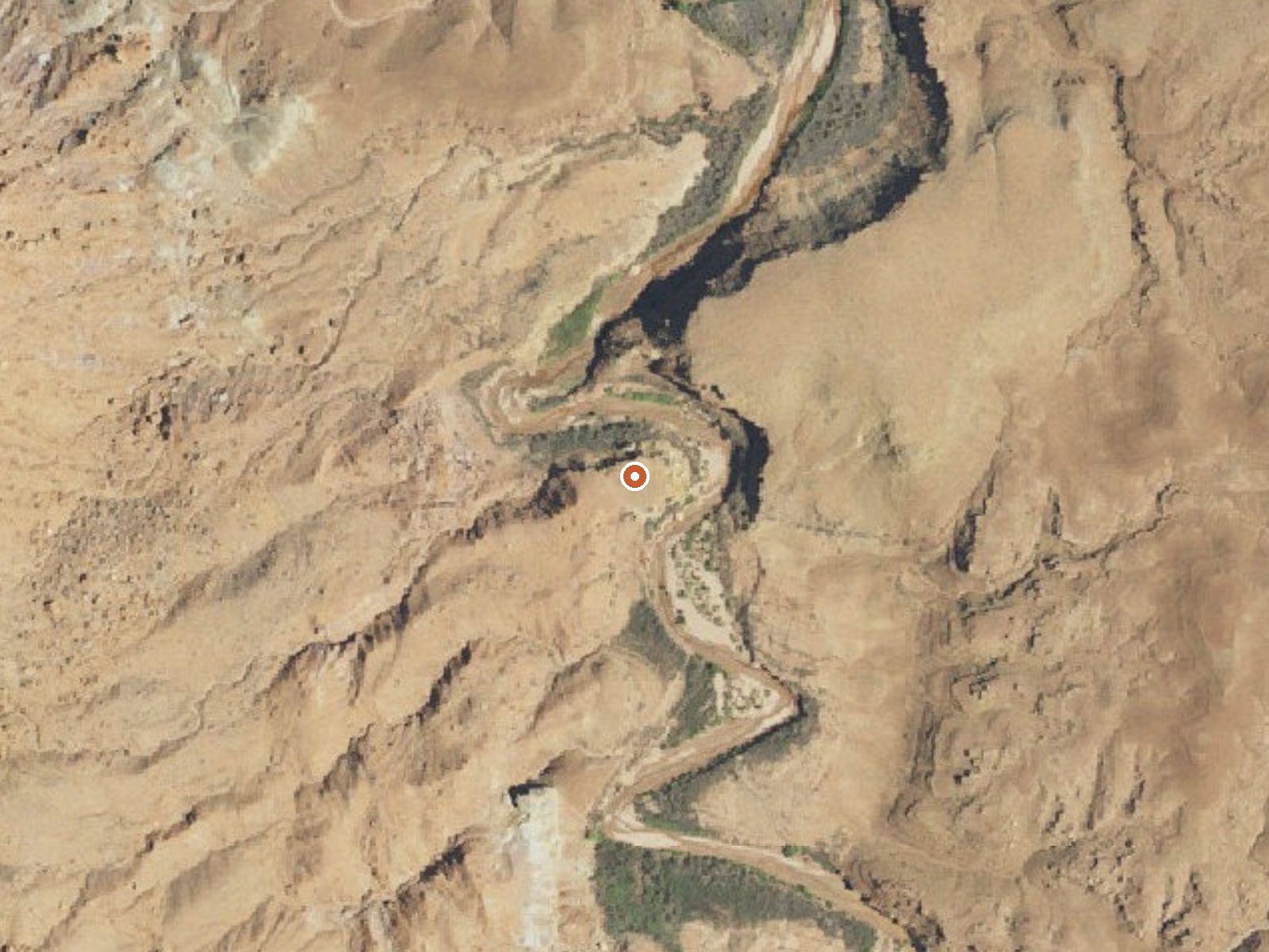
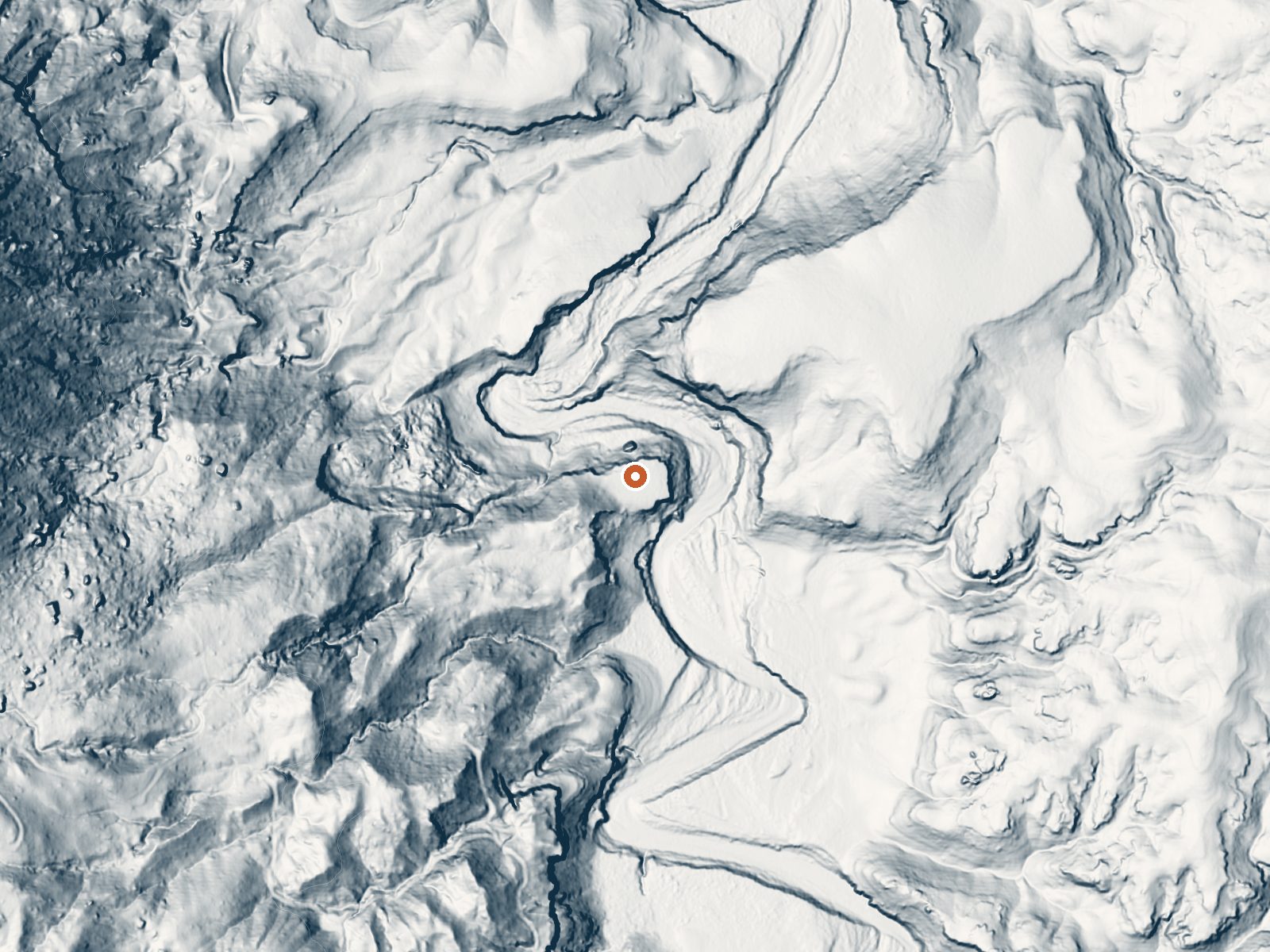
Drag the handle to compare the two views. The orange dot marks the spring, in a frame about three quarters of a mile wide.
Warm Spring in San Juan County lies inside Glen Canyon National Recreation Area, a National Park Service unit, roughly fifty miles from Blanding. The water is warm, below soaking temperature, with a 1963 sample showing a heavy mineral load. Public access is open. The remote position and the federal land are the two facts that shape any visit.
Plan on a mile of walking in from the closest road, an unnamed one as far as the record goes. The land is low canyon country, around thirty-six hundred feet, and very dry, six inches of precipitation most years and only a dusting of snow. The National Park Service manages the ground as part of Glen Canyon National Recreation Area.
Winter is the listed season. Starr Springs Campground is the closest on file, about thirteen and a half miles away. The water sample is old and the temperature has no newer check. Park rules apply here since it is NPS land. The walk is a mile each way across dry country.
Aircraft with laser scanners measured this ground to within inches. The scan strips out trees and buildings, leaving the bare shape of the land around Warm Spring.
- Setting
- Valley floor
- Gentle slopes rise on both sides.
- Highest ground nearby
- 230 ft above the spring
- Within a quarter mile, to the west
A slice through the ground from west to east, about 0.6 miles end to end.
Elevation data: USGS 3D Elevation Program. Aerial imagery: USGS The National Map. Public domain.
That's about 1½ times the US average of 65. It's higher than at 36% of the springs on this site.
Heat flow measures the warmth working its way up through the ground from deep inside the earth. Where it runs high, rain and snowmelt that seep down through cracks in the rock come back up hot.
See every spring on the geothermal heat map →
Heat flow estimate: Stanford Thermal Earth Model (Aljubran & Horne, 2024), CC BY 4.0.
The water at Warm Spring is slightly alkaline (pH 7.5) with 1880 mg/L total dissolved solids. It is notably rich in calcium (may support bone density and joint health), magnesium (known for muscle relaxation and stress relief), and sulfate (traditionally used for skin conditions and inflammation).
Some links are affiliate links. We may earn a commission at no extra cost to you.
Elevation 6300 feet. 12 campsites at the southern tip of the Henry Mountains. Scale Mount Hillers, towering above the campground at 10,723 feet or explore the benches and mesas that surround these remote, uplifted highlands. Bring your own water- reliable sources are mighty scarce out here. Information on the resident bison herd.
Warm Spring is road-accessible, so you can bring more gear.






As an Amazon Associate, we earn from qualifying purchases.
Springs Near Warm Spring
More Springs Around 79°F
Slightly Alkaline Springs (pH ~7.5)
Hike 3 waterfalls near Warm Spring
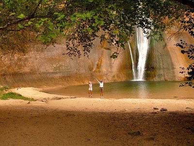
Looking for more outdoor adventures? Explore waterfall hikes near Warm Spring, Utah.