Rogers Spring
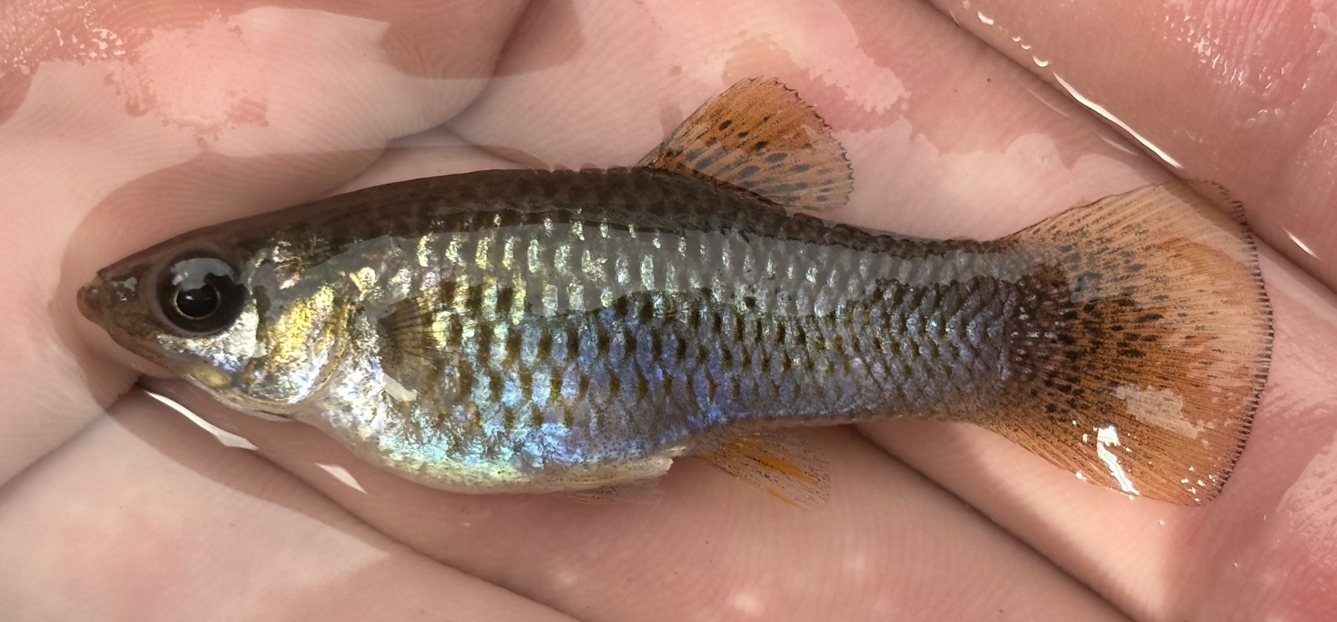
Rogers Spring is a warm roadside spring in Lake Mead National Recreation Area, Clark County, about sixteen miles from Moapa Valley and open to the public. It is Park Service land, with a campground close by, and the water is warm, some way under body heat. Wikipedia calls it Rogers Warm Spring.
Twenty-three feet from the road, as close as roadside gets. Low desert at under 1,600 feet, with no snow on record and about five inches of precipitation a year. Echo Bay Campground is roughly five miles away. The National Park Service manages the recreation area.
The record says winter, and the climate agrees. Open, NPS-managed, no fee on file, Echo Bay for camping. A 2009 sample found high dissolved solids, around three thousand milligrams per liter, with iron. The water is warm, so a cold evening will make it feel cool fast.
Wikipedia records it as Rogers Warm Spring, near Overton. The spring discharges from the Rogers Spring Fault at the side of a large collecting pond, roughly 75 feet on a side and about three feet deep, and there is a smaller secondary pool with a waterfall.
Aircraft with laser scanners measured this ground to within inches. The scan strips out trees and buildings, leaving the bare shape of the land around Rogers Spring.
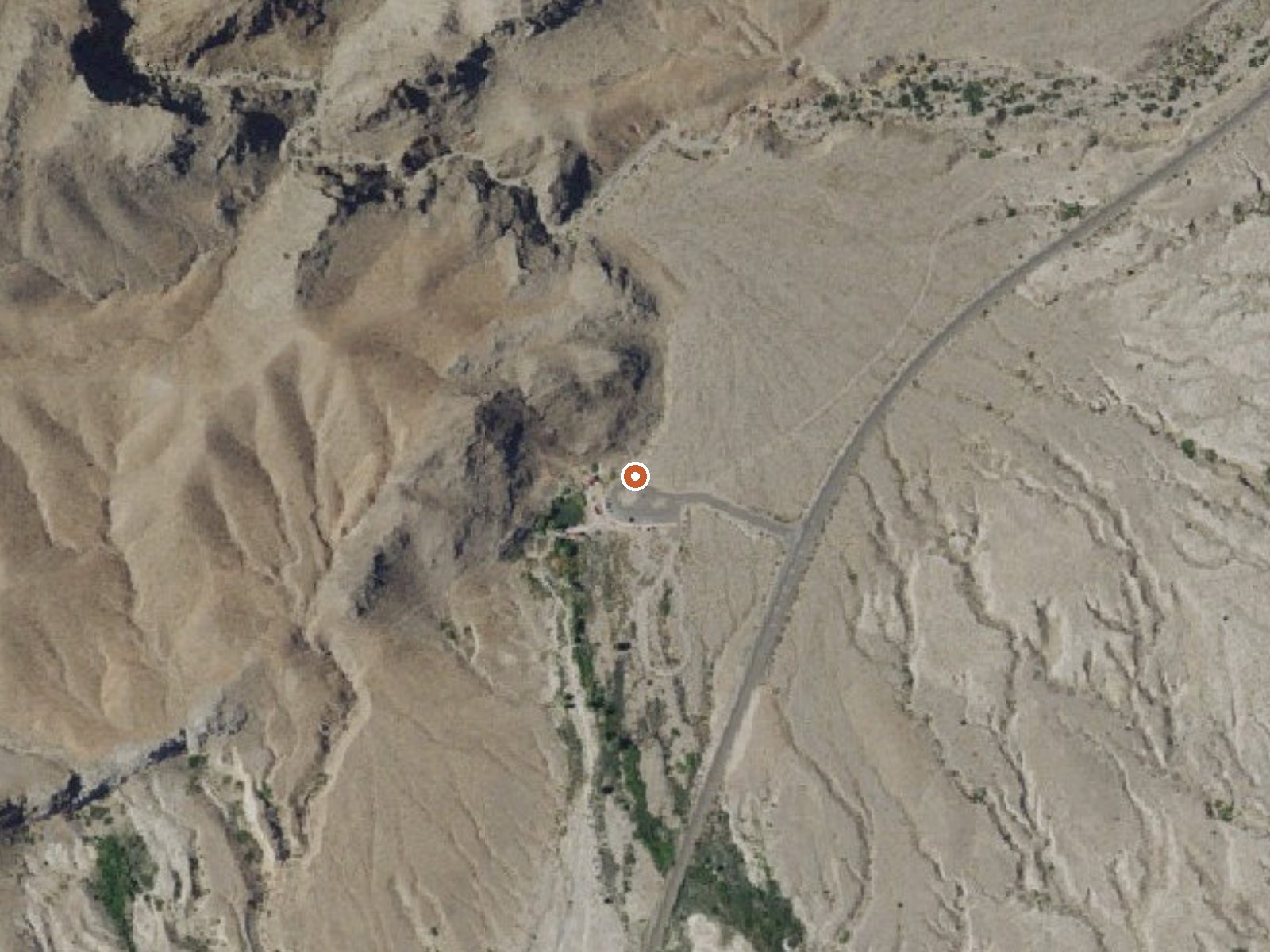
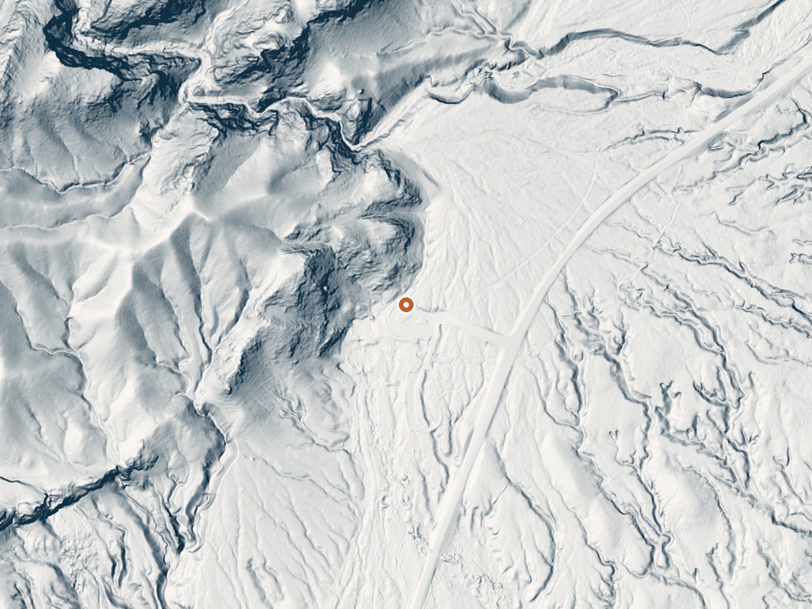
Drag the handle to compare the two views. The orange dot marks the spring, in a frame about three quarters of a mile wide.
- Setting
- Hillside
- The spring sits on a steep slope that climbs to the northwest.
- Highest ground nearby
- 227 ft above the spring
- Within a quarter mile, to the northwest
A slice through the ground from north to south, about 0.6 miles end to end.
Elevation data: USGS 3D Elevation Program. Aerial imagery: USGS The National Map. Public domain.
That's about 1½ times the US average of 65. It's higher than at 49% of the springs on this site.
Heat flow measures the warmth working its way up through the ground from deep inside the earth. Where it runs high, rain and snowmelt that seep down through cracks in the rock come back up hot.
See every spring on the geothermal heat map →
Heat flow estimate: Stanford Thermal Earth Model (Aljubran & Horne, 2024), CC BY 4.0.
The water at Rogers Spring is neutral (pH 6.9) with 3180 mg/L total dissolved solids. It is notably rich in calcium (may support bone density and joint health), magnesium (known for muscle relaxation and stress relief), and sulfate (traditionally used for skin conditions and inflammation).
Some links are affiliate links. We may earn a commission at no extra cost to you.
Overview Echo Bay Campground is located in the northern end of the park along the Overton Arm of Lake Mead. It’s open year-round and features paved sites that can accommodate tents or RVs, along with tables, fire pits and/or grills. Restrooms and water spigots are located throughout the campsite. Temperatures usually surpass 100F (37C) degrees June-August. In May and September, daytime highs are around 90F (32C). October-April, temperatures are much cooler. Lows can dip to freezing temps Dece...
Rogers Spring is road-accessible, so you can bring more gear. Bring sun protection for exposed soaking.



As an Amazon Associate, we earn from qualifying purchases.
Springs Near Rogers Spring
More Springs Around 82°F
Neutral Springs (pH ~6.9)
Hike 1 waterfall near Rogers Spring
Looking for more outdoor adventures? Explore waterfall hikes near Rogers Spring, Nevada.