Livingston Warm Springs
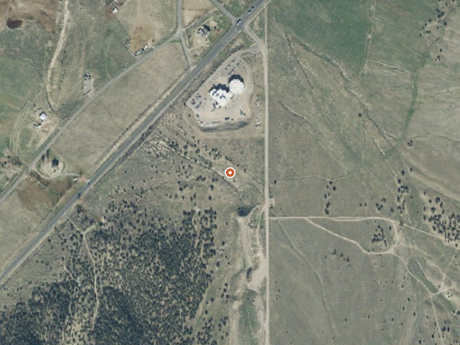
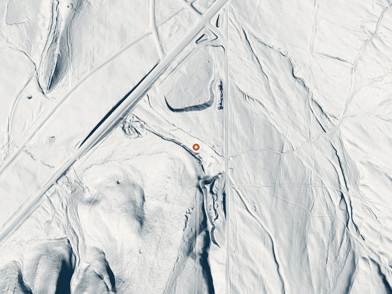
Drag the handle to compare the two views. The orange dot marks the spring, in a frame about three quarters of a mile wide.
Livingston Warm Springs lies within the 6-Mile State Wildlife Area in Sanpete County, a mile and a half from Manti. The water is tepid. Access is restricted, which on wildlife-area land means rules to learn before you go. No chemistry is on file. There is no photo. Manti is close; this is a town-edge spring.
About 340 feet from Service Berry Road on foot. Elevation is around 5,700 feet on state conservation land. A bit over four feet of snow falls in a winter and precipitation is moderate. The listing calls it a short walk.
The cold months are flagged as best. Expect snow on the ground through them. Manti Community campground is about six miles away. Restricted access means checking with the wildlife area first. No fee is listed. With no sample date and no chemistry, the temperature stands as a single undated reading.
Aircraft with laser scanners measured this ground to within inches. The scan strips out trees and buildings, leaving the bare shape of the land around Livingston Warm Springs.
- Setting
- Gentle slope
- The ground tilts gently up to the south.
- Highest ground nearby
- 133 ft above the spring
- Within a quarter mile, to the south
A slice through the ground from northwest to southeast, about 0.6 miles end to end.
Elevation data: USGS 3D Elevation Program. Aerial imagery: USGS The National Map. Public domain.
That's about twice the US average of 65. It's higher than at 79% of the springs on this site.
Heat flow measures the warmth working its way up through the ground from deep inside the earth. Where it runs high, rain and snowmelt that seep down through cracks in the rock come back up hot.
See every spring on the geothermal heat map →
Heat flow estimate: Stanford Thermal Earth Model (Aljubran & Horne, 2024), CC BY 4.0.
Overview Manti Community Campground is just 7 miles east of Manti, Utah next to Yearns Reservoir at an elevation of 7,400 feet. Visitors enjoy fishing, canoeing and exploring local trails. Accessible by dirt road, no high clearance needed. Recreation Canoeing and fishing for rainbow and cutthroat trout are popular activities on the small but scenic man-made reservoir. A short, easy trail traverses around Yearns Reservoir with fishing access points on the north, west, and south sides of the la...
Livingston Warm Springs sits at 5,727 feet above sea level, way above the mile-high mark. You may not feel the altitude strongly, but hot water still dehydrates you faster at elevation. UV is about 23% stronger than at sea level, so bring sunscreen and drink more water than you normally would.



As an Amazon Associate, we earn from qualifying purchases.
Springs Near Livingston Warm Springs
More Springs Around 73°F
Hike 1 waterfall near Livingston Warm Springs
Looking for more outdoor adventures? Explore waterfall hikes near Livingston Warm Springs, Utah.